Circa 1600, a breeze picks up in the Mandovi bay, waves beat against the sides of the seven ships sent forth as part of the Dutch fleet, anchored there for over a month. The sails flap in the growing wind, immune to the barrage of guns from the forts of Reis Magos and Gaspar Dias. The gap in the defenses shocked the Portuguese, this resulted in two formidable new citadels at Mormugão and Aguada.
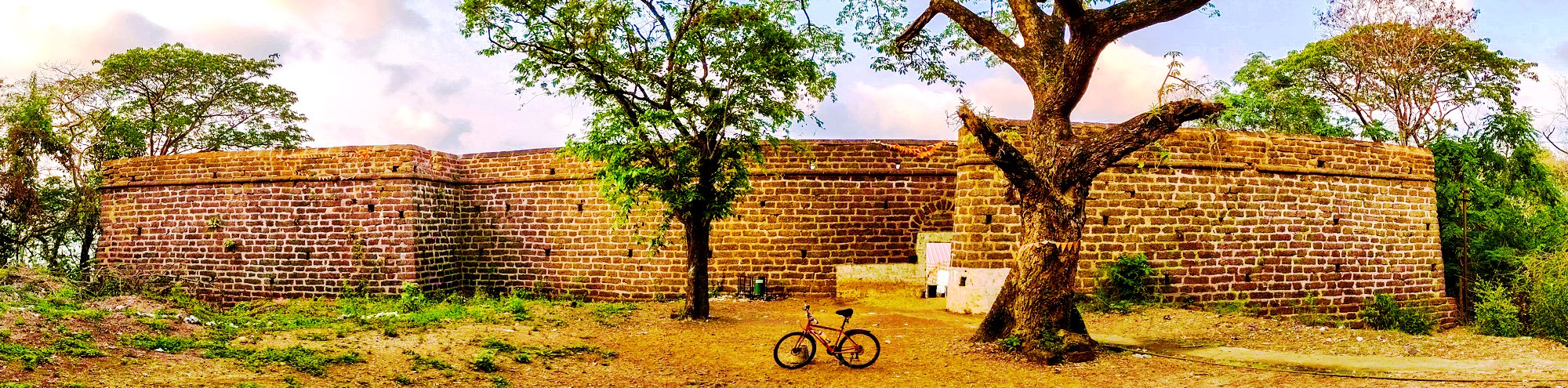
Last Sunday I decided to conquer fort #10 – the Mormugão fort. Setting out under the blazing afternoon sun at 3.30 pm to the fort located 33 kms from my home in Borda, Margao. The Mormugão fort sits on the isthmus that juts out of the south bank of the Zuari river mouth overlooking the port.
The construction work on the fortification begun in April 1624, according to epigraphic inscriptions, on the order of the Viceroy of the Portuguese State of India, Dom Francisco da Gama, Fourth Count of Vidigueira, who was also troubled by repeated forays of the Marathas, considered shifting the capital city of the Portuguese Empire in India from Old Goa to Mormugão.
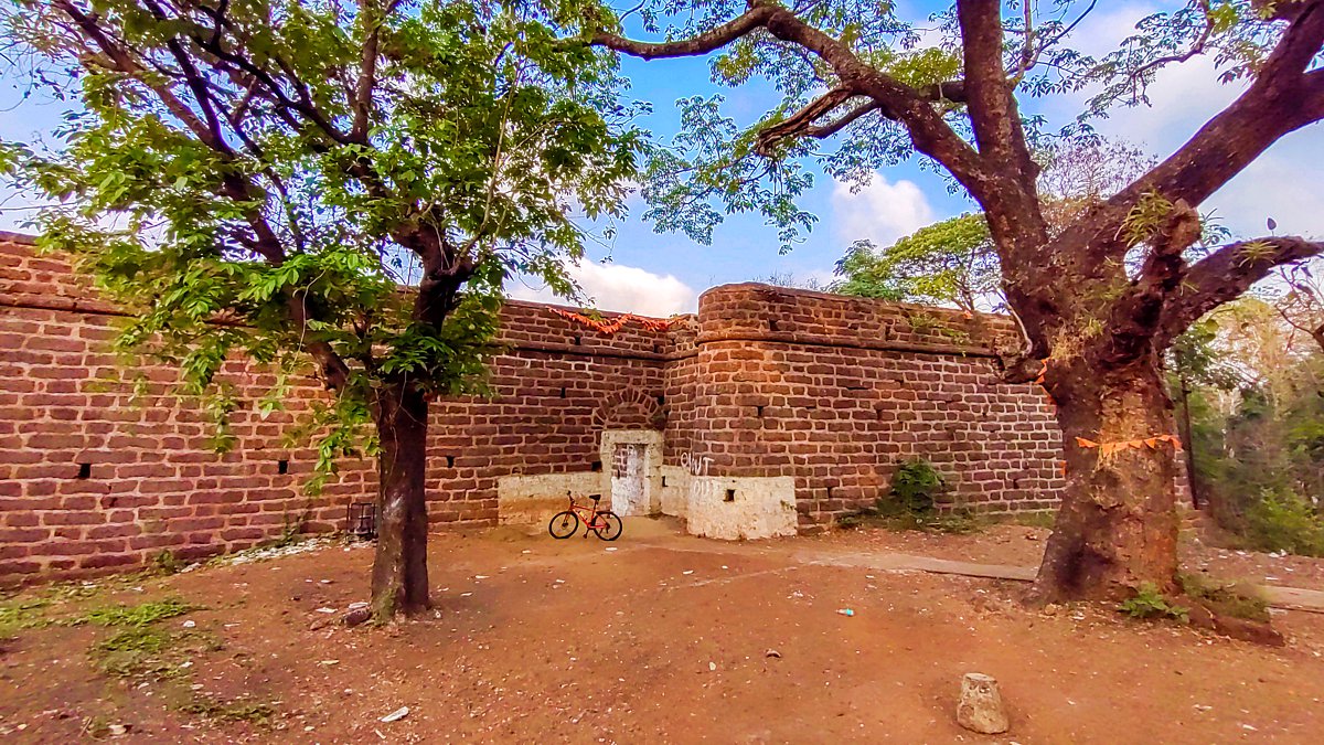
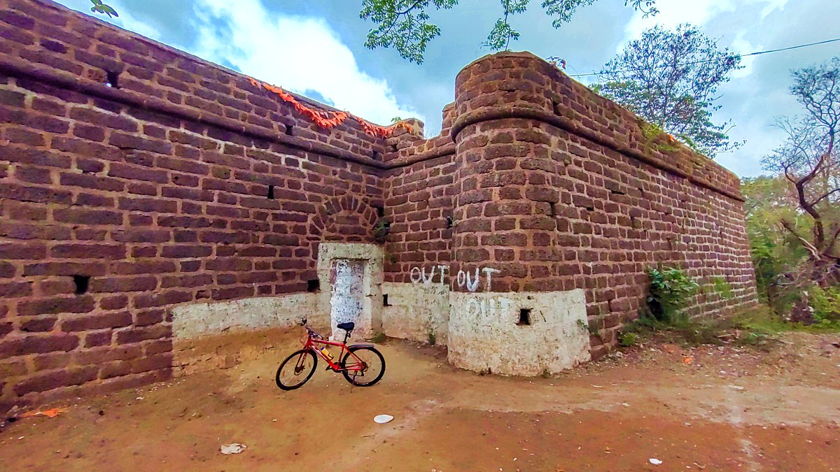
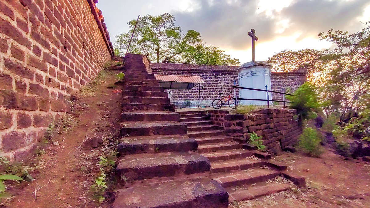
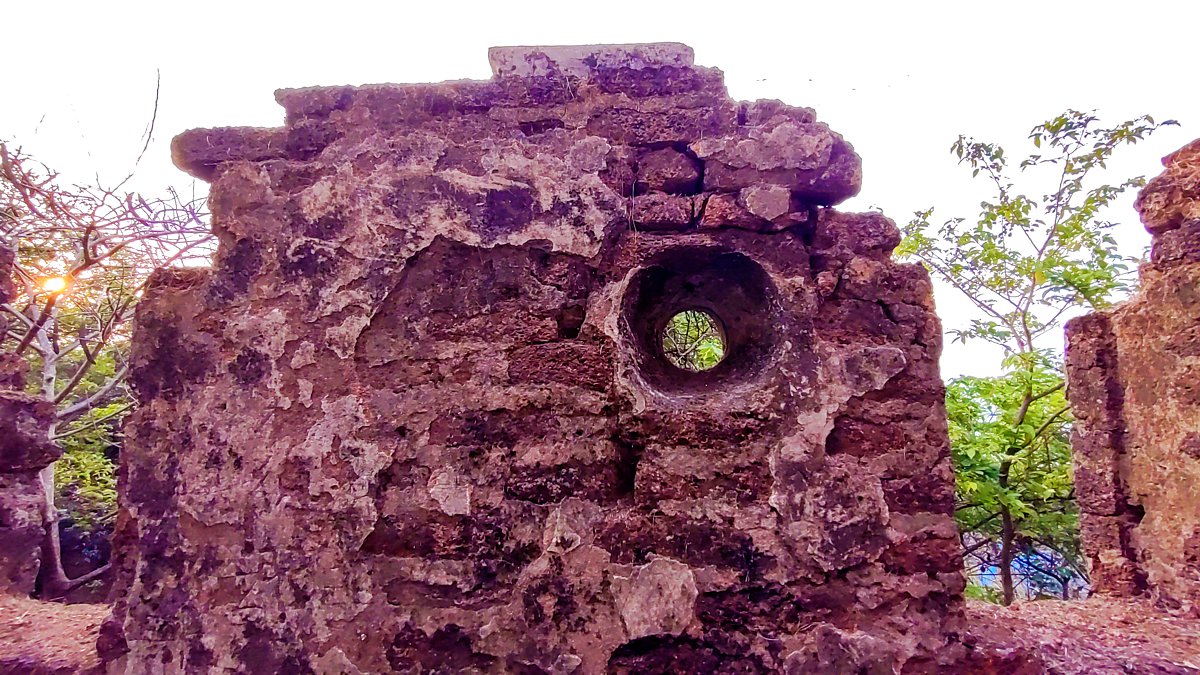
Designed by the celebrated engineer Julio Simaão (he also designed the Aguada fort) the fort comprised of a riverside fortification with a quay, joined to a second one on the plateau above by two flights of steps climbing up the slope. The upper fort is believed to have been irregularly triangular in shape and defended by three bastions. There were more bastions, ramparts, and curtain walls along the shore, including a long wall on the east and north-east, and many military residential and religious buildings within. Most of these were demolished with the development of the port and city.
In 1703, it is said that the then Viceroy of Goa shifted his residence to within the walls of the fort. However, subsequent Viceroys felt that this area was not central enough and they shifted base back to Old Goa. This turned out to be a fortunate move, since the Marathas conquered the fort in the 17th century and it spent a few years under Maratha rule before being ceded back to the Portuguese.
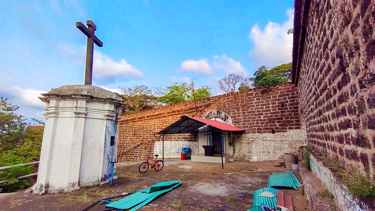
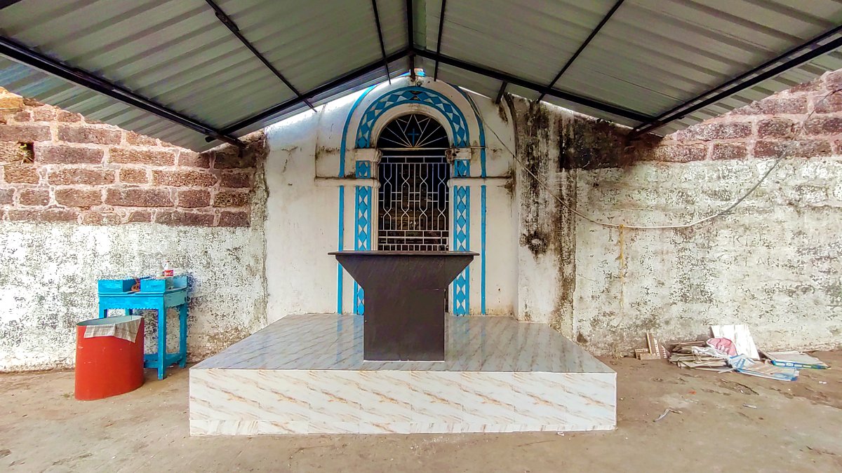
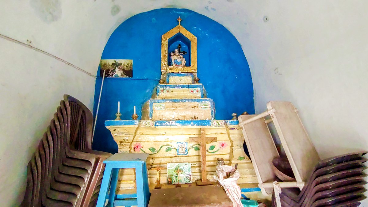
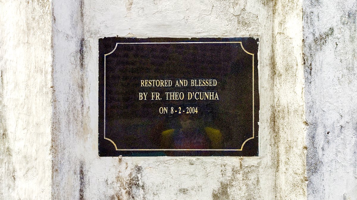
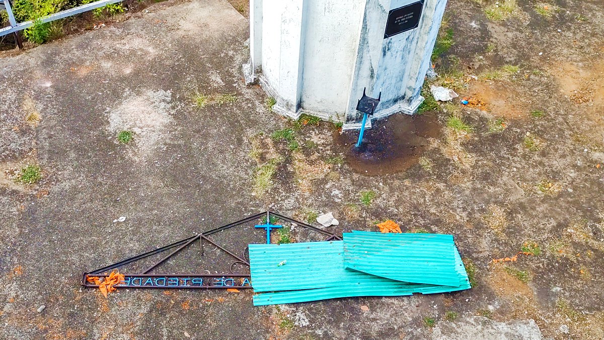
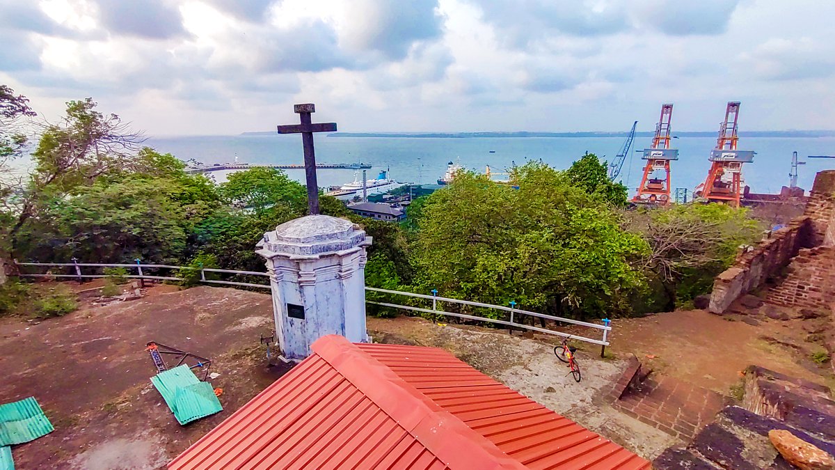
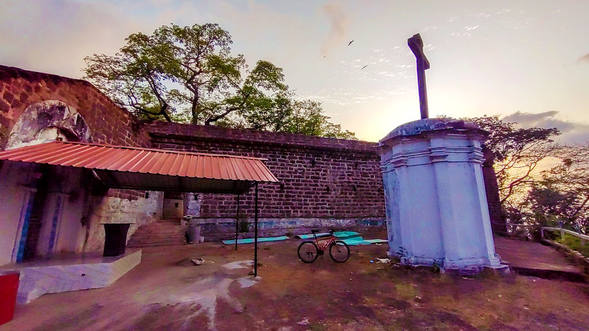
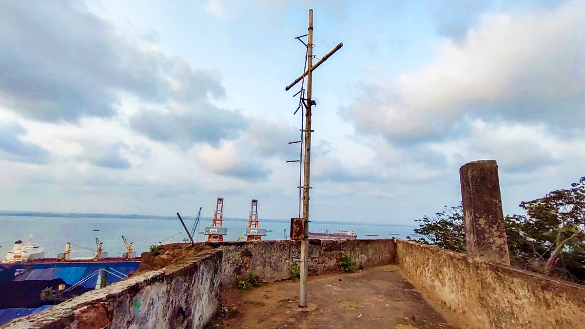
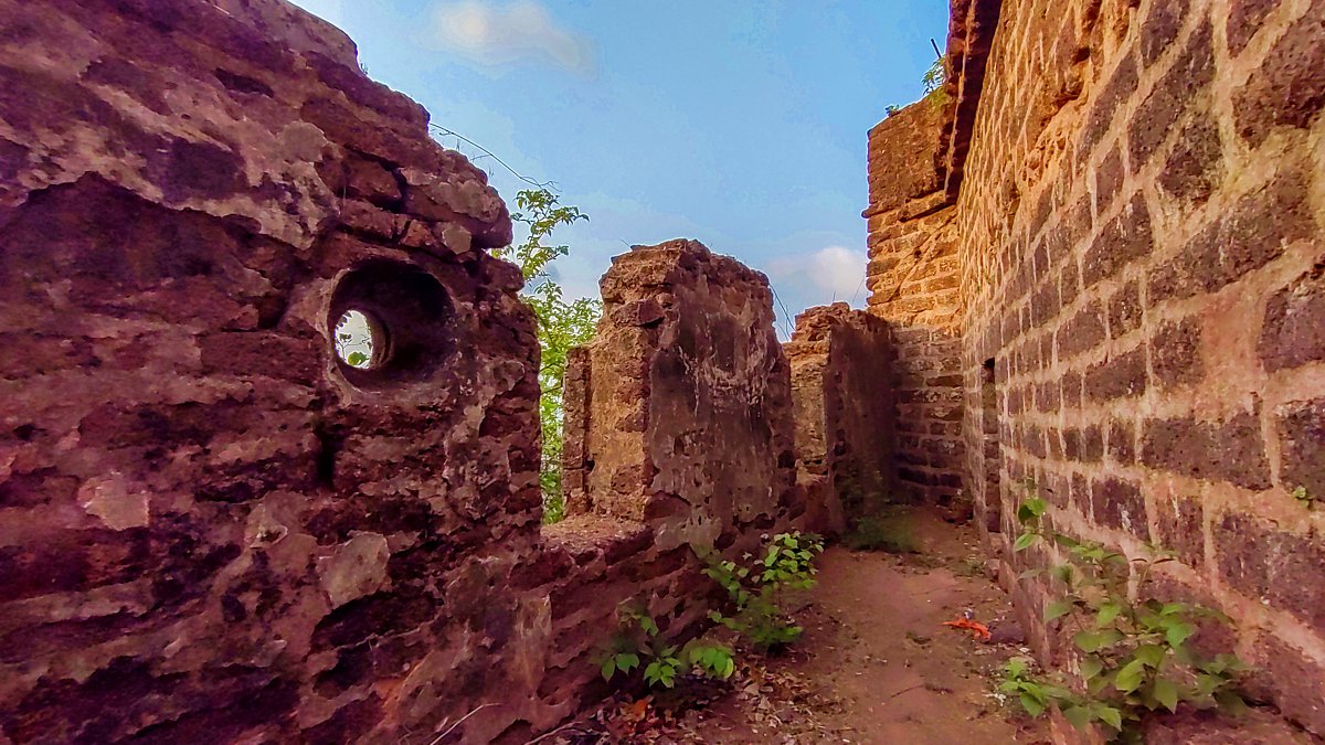
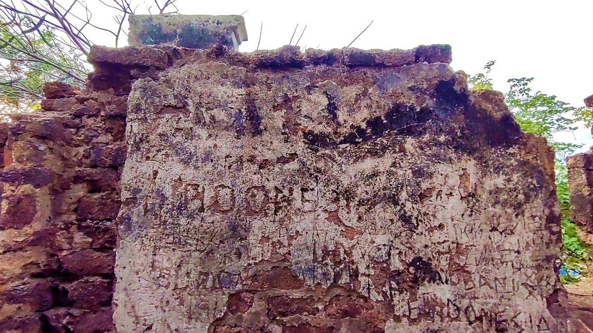
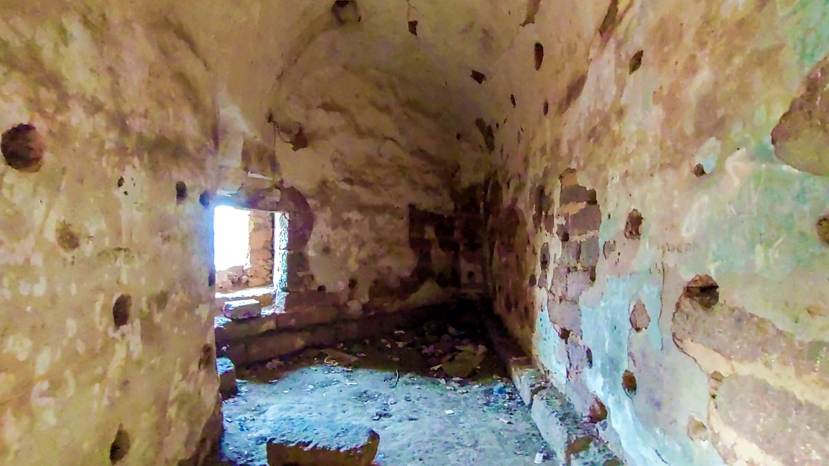
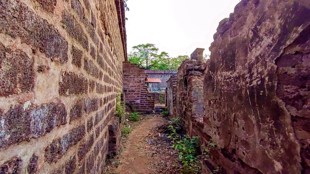
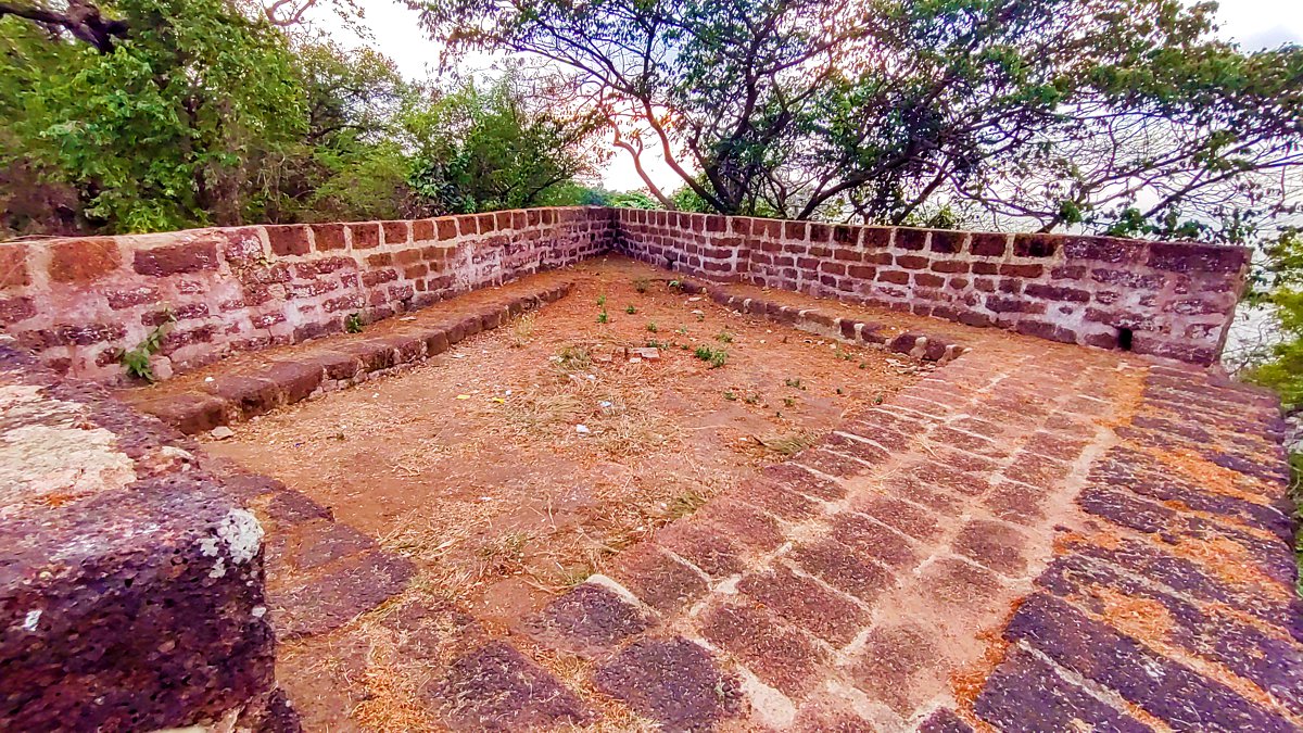
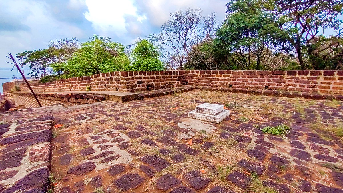
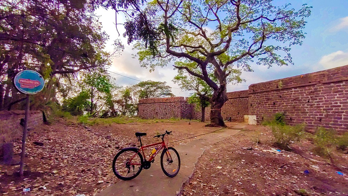
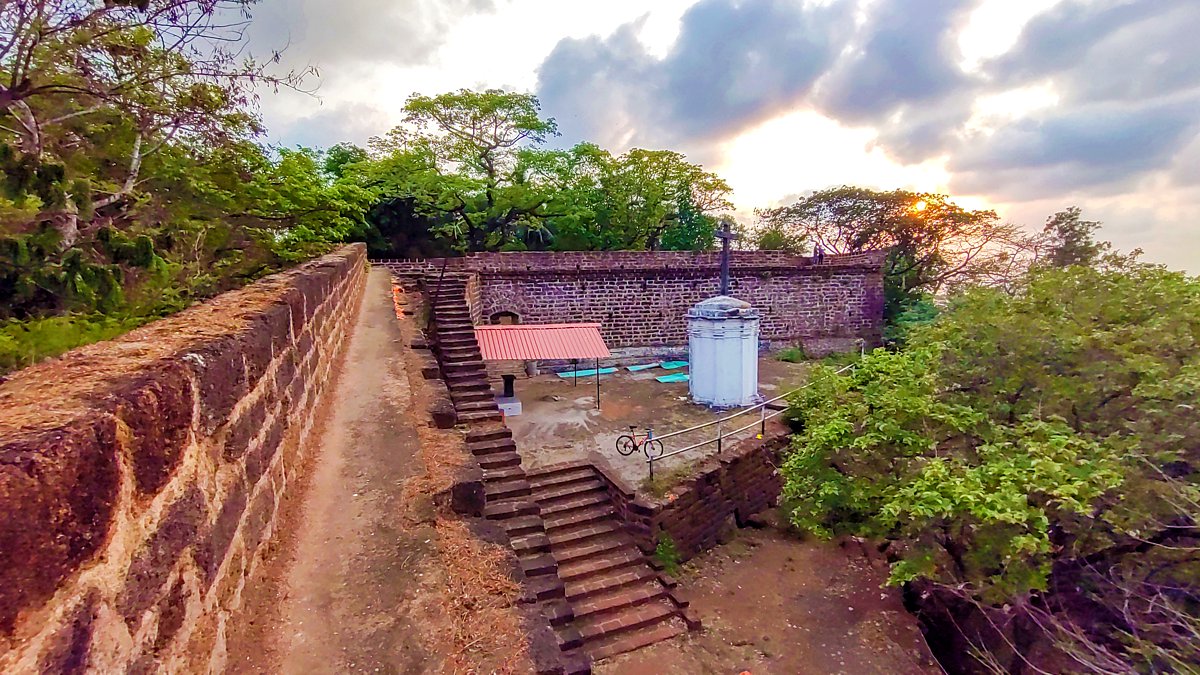
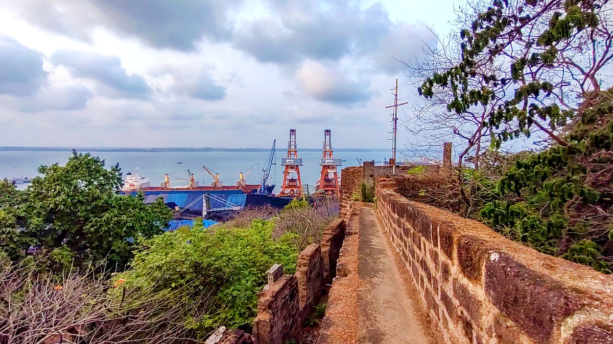
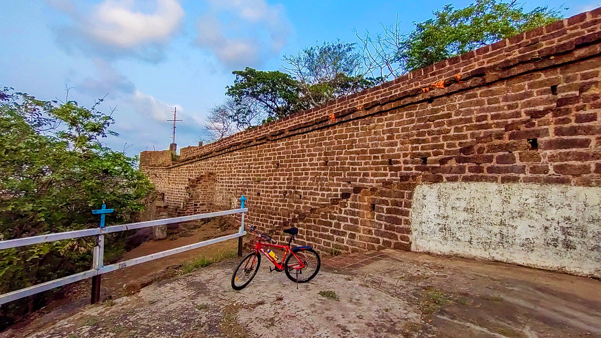
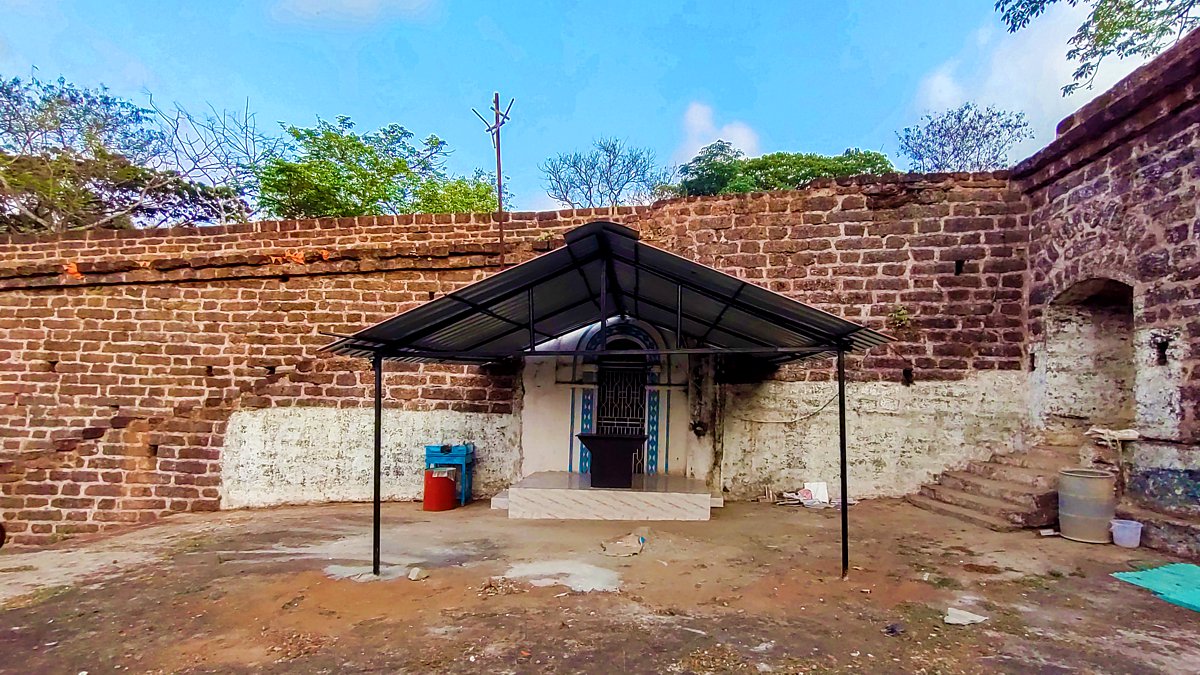
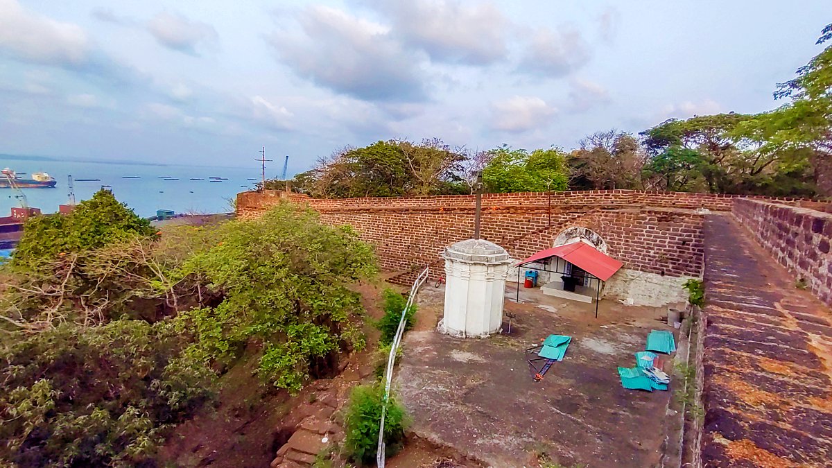
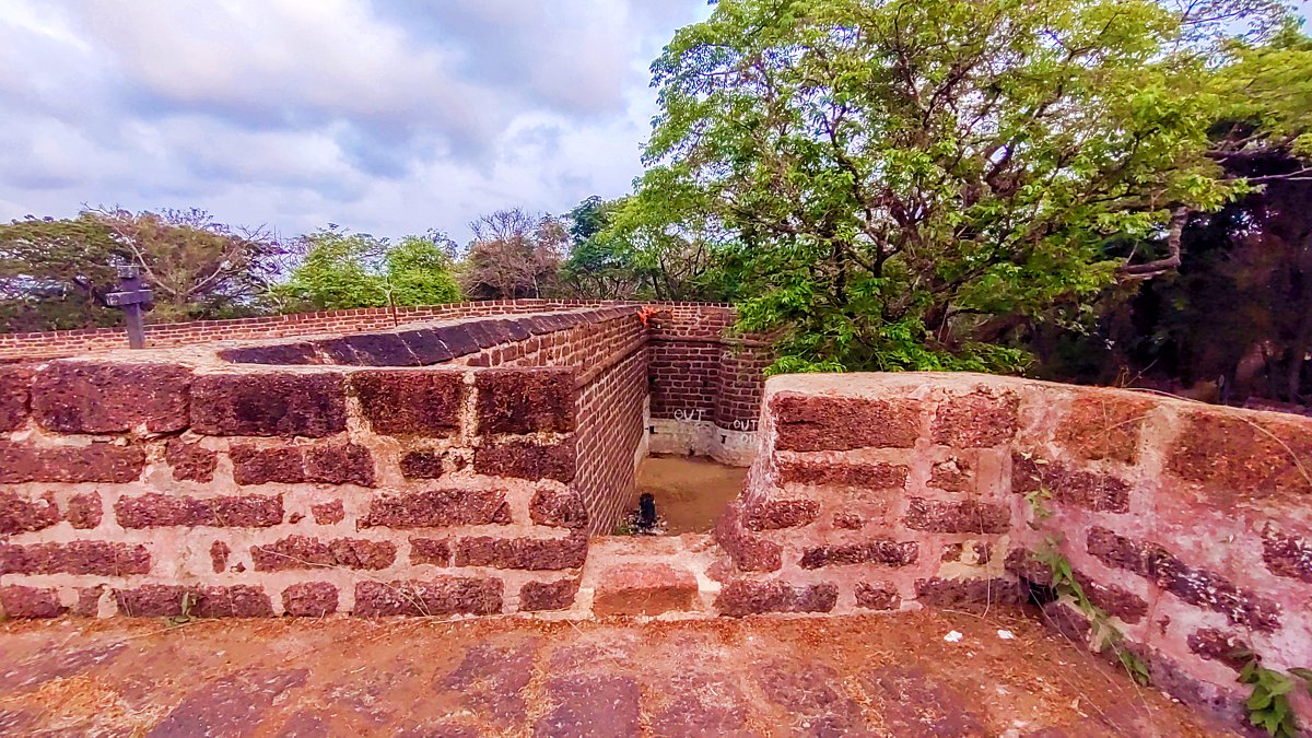
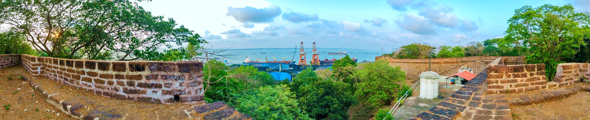
With the development of the Mormugão harbour and the city of Vasco da Gama in the late 19th century, few vestiges remain of Mormugão fort. The biggest group of remains are those of the upper fort above the harbour road – a fortified court, with two angular bastions with orillons connected by ramparts with wall-walks, a gateway set in thick walls, a large and newly-restored cross, a wall chapel dedicated to Nossa Senhora de Piedade (Our Lady of Piety), and the remains of some walls with casemates facing the harbour.
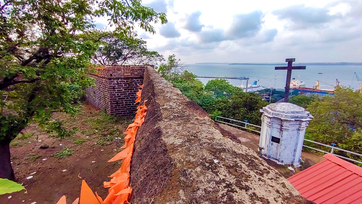
A magnificent view is to be had from the ramparts of Aguada to the west, the ships in the harbour, and the Cabo Raj Niwas at Dona Paula across the river mouth.
How to reach the fort:
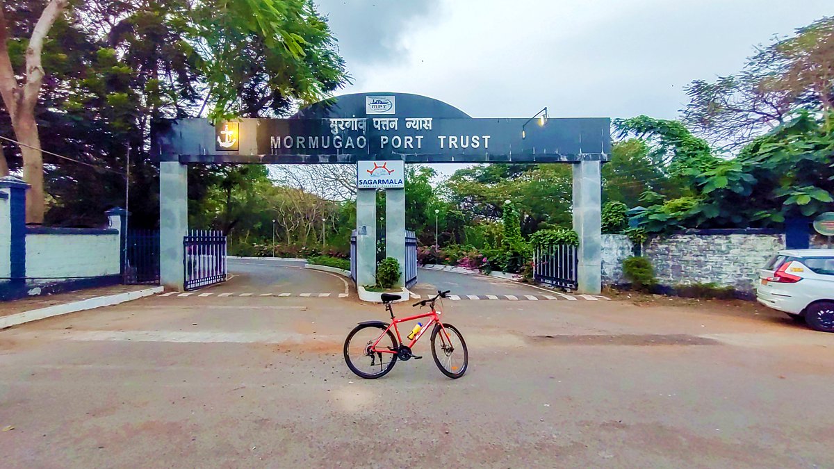
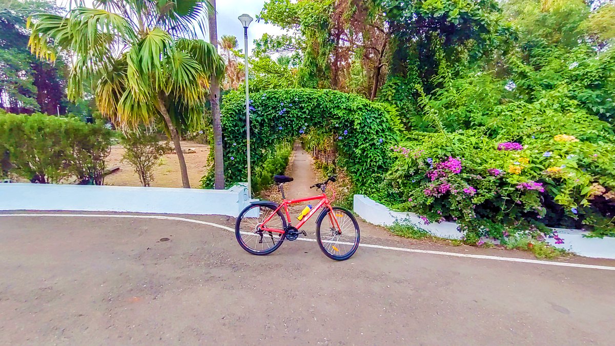
Upon reaching the MPT gate (bottom left pic) it is open to all, beyond the gate, about 60 mts to the right look out for this narrow lane (bottom right pic), walk-in for 50 mts and you will find the fort. The fort is maintained by the Directorate of Archives and Archaeology, Government of Goa, and open 365 days of the year.
Mormugão Fort location:
https://goo.gl/maps/C1jsNXqxsL2AZ2aC8
MPT Sagarmala Gate location:
https://goo.gl/maps/GL4iqWPpAwk7pW5fA
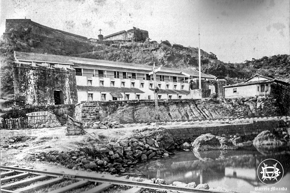
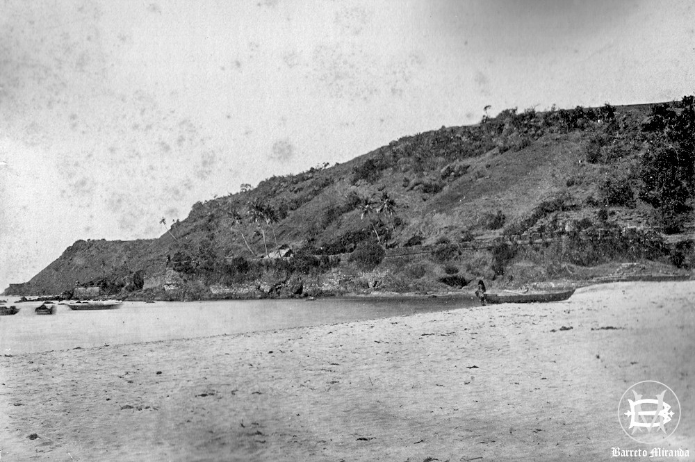
These two photos clicked by Paul & Souza Photographers (circa 1910) are from my family archives.
Photo on the left is of the Governor palace in Mormugão, the fort can be seen on top with the cross in the center. The palace is presently in ruins and not accessible to the public as it is situated in the MPT restricted area.
Photo on the right is of Mormugão fort ramparts along the shore.
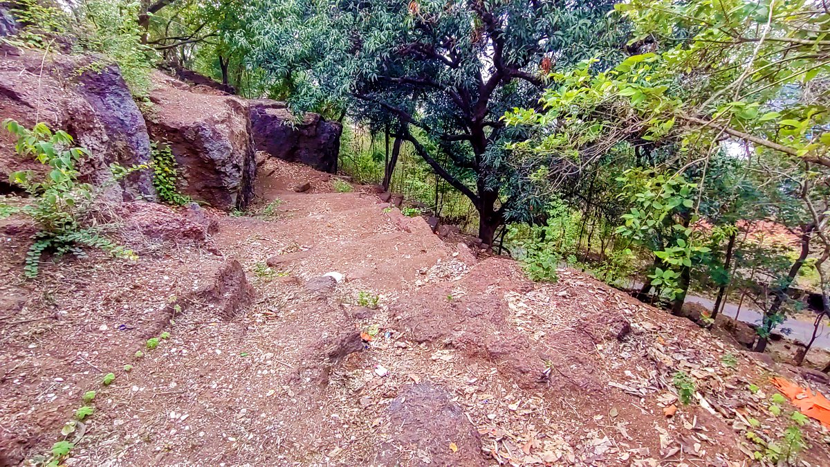
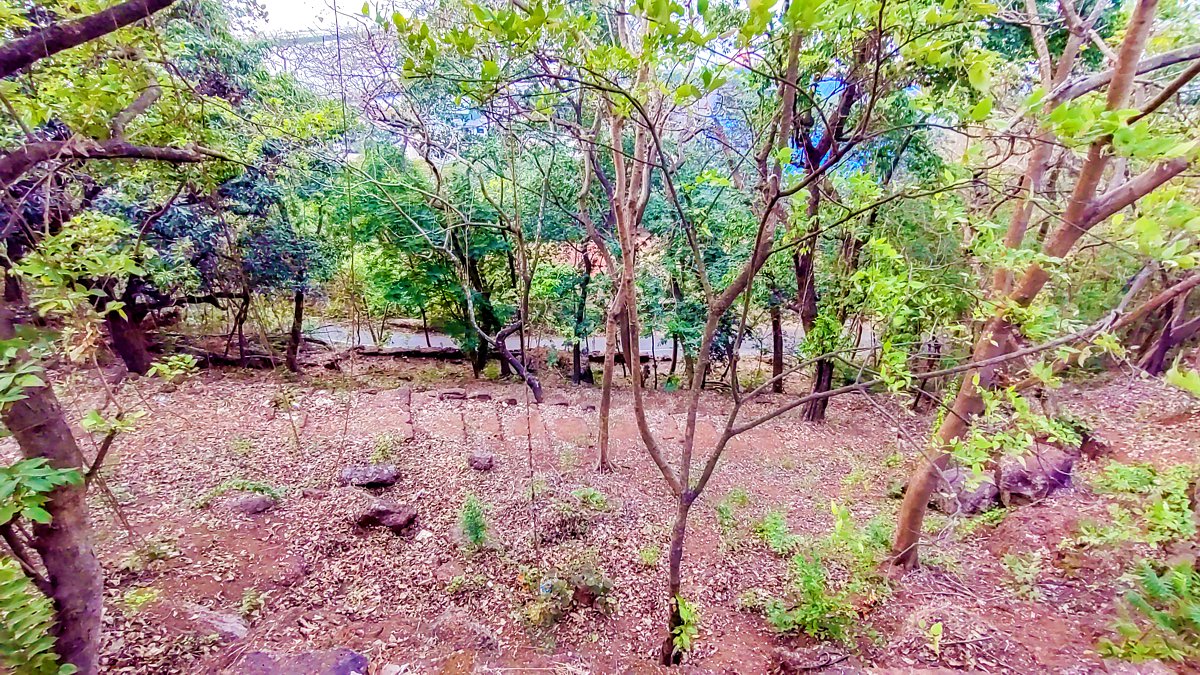
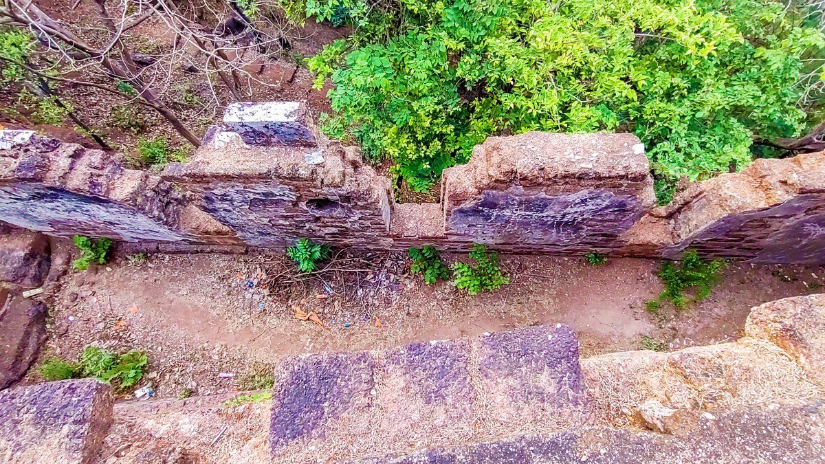
A few more photos I clicked walking around the Mormugão fort: