The River Sal is a small river in Salcete which was once an economic hub to the various villages in South Goa. The meaning of word Sal means “salt” in Portuguese and people used to flock from neighbouring villages and town in order to purchase quality salt from the salt pans systematically connected to the River Sal.
The third largest river in Goa, it measures 35 kilometers in length and has a basin size of 301 square kilometers. The River Sal is a geologically odd one because it flows in a north-south direction, parallel to the west of geological coast. It starts atop the Verna plateau passing through Nuvem, Margao, Navelim, Dramapur, Chinchinim, Orlim and Assolna before leading into the Arabian Sea at Cavelossim – Betul in Goa.
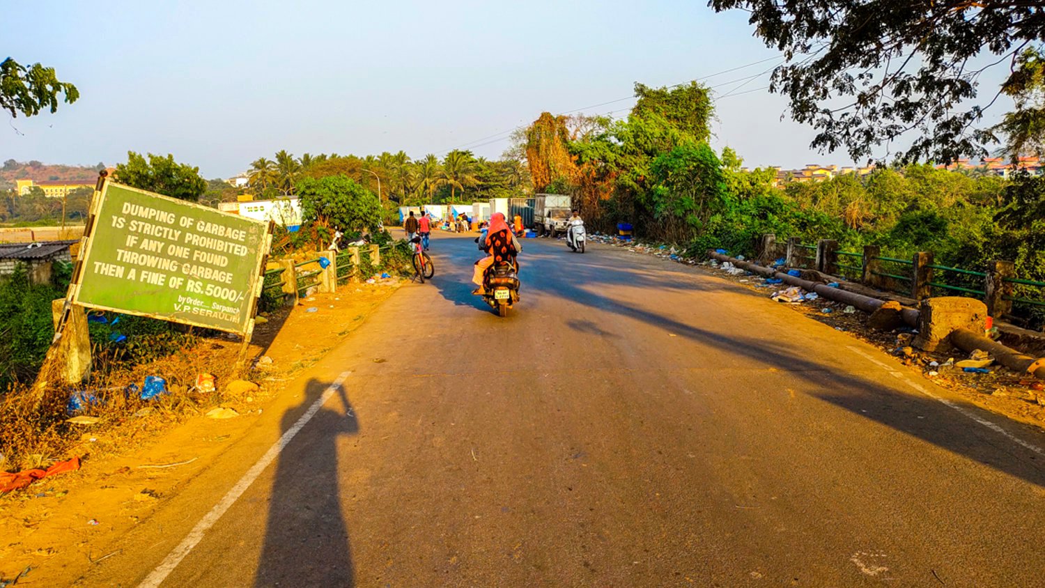
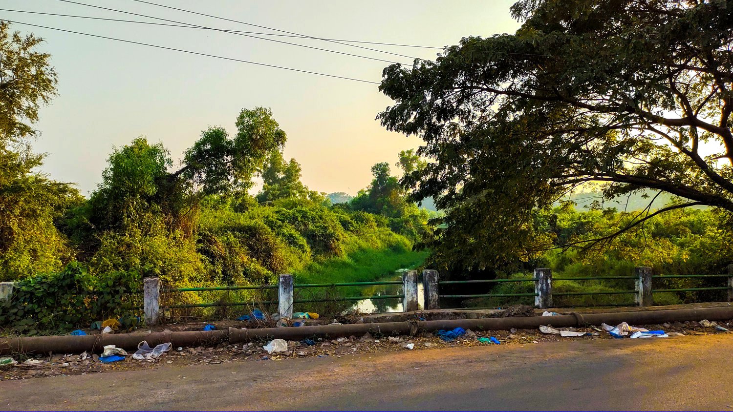
The river is gradually destroyed by dumping of garbage and release of untreated sewage water into it and is now considered one of the most polluted rivers in India.
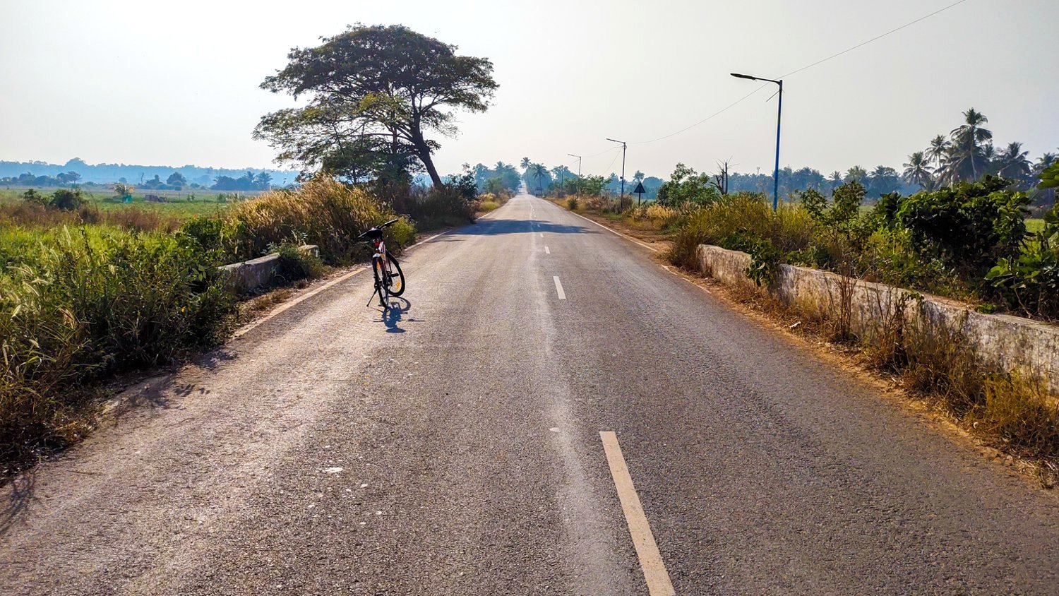
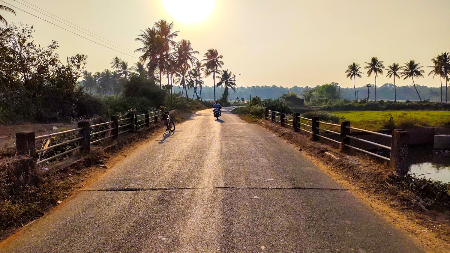
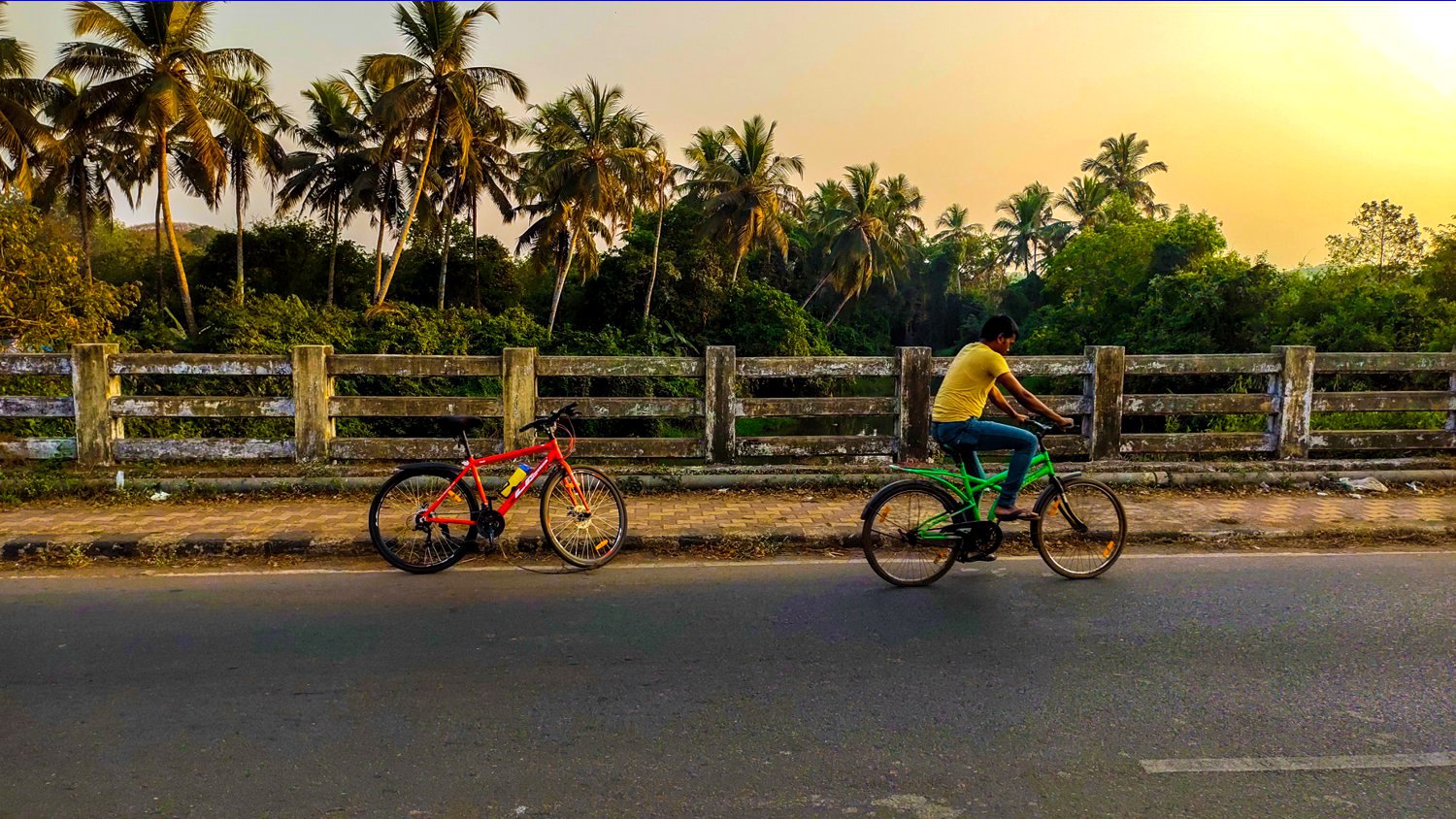
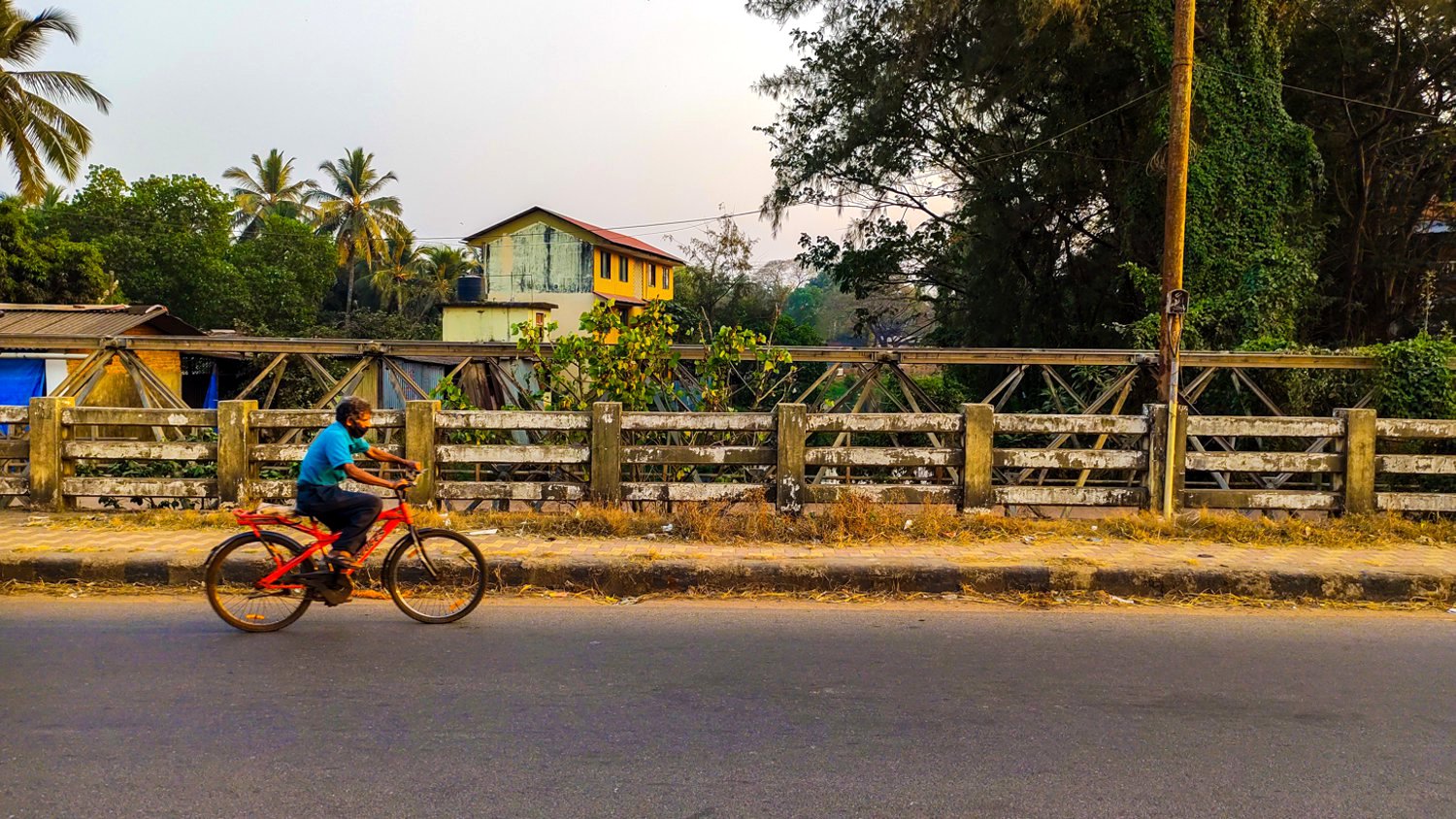
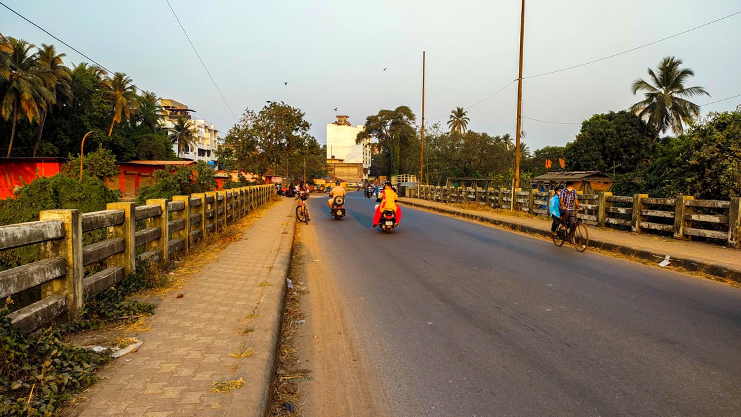
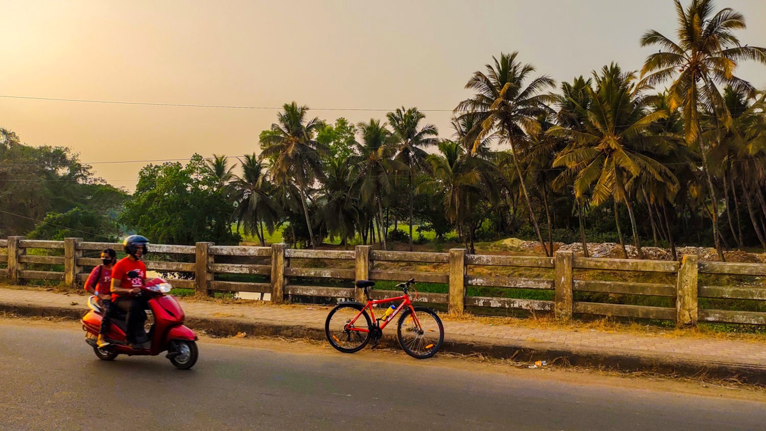
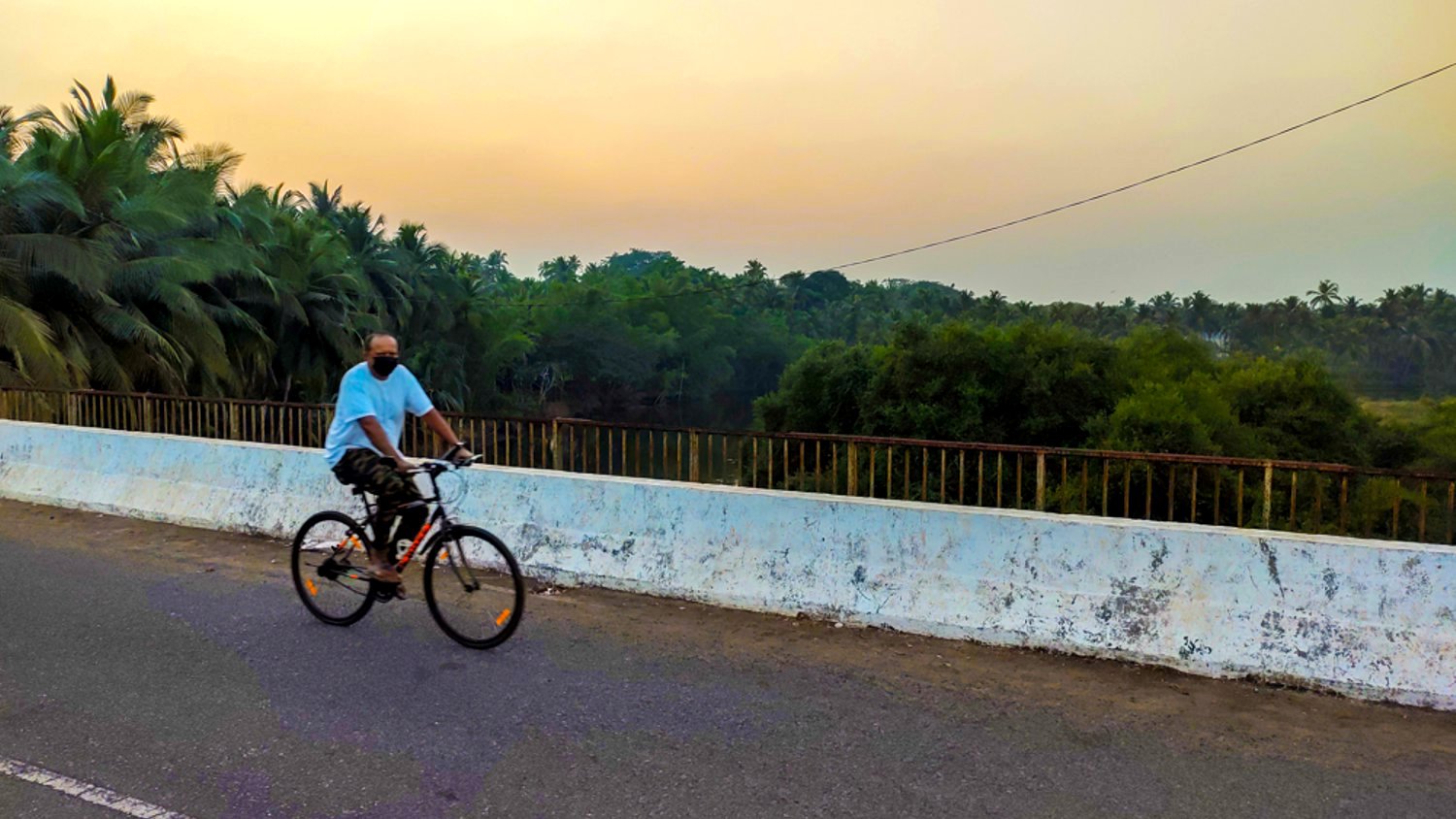
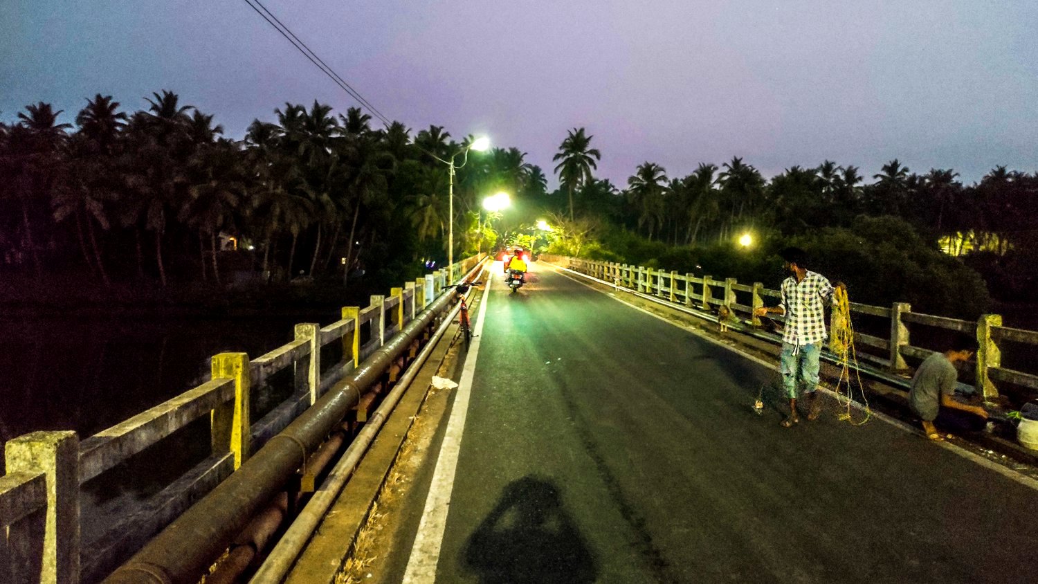
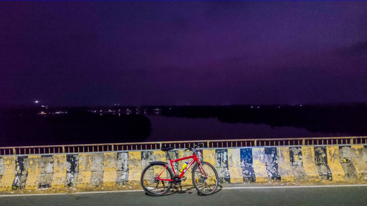
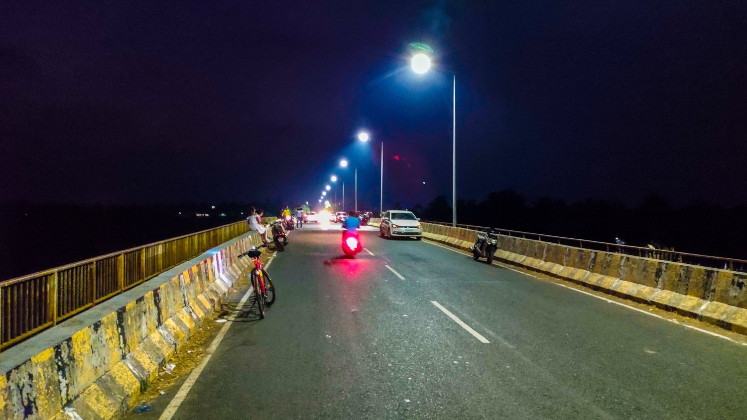
On Sunday, I decided to cycle from the spot where the river originates till it flows into the Arabian Sea crossing all the small and big bridges that span over it, using only tarmac roads. The challenge was not to use the same route twice.
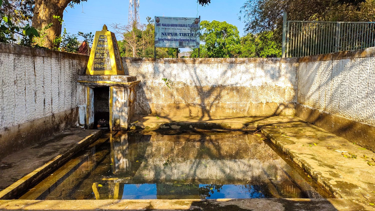
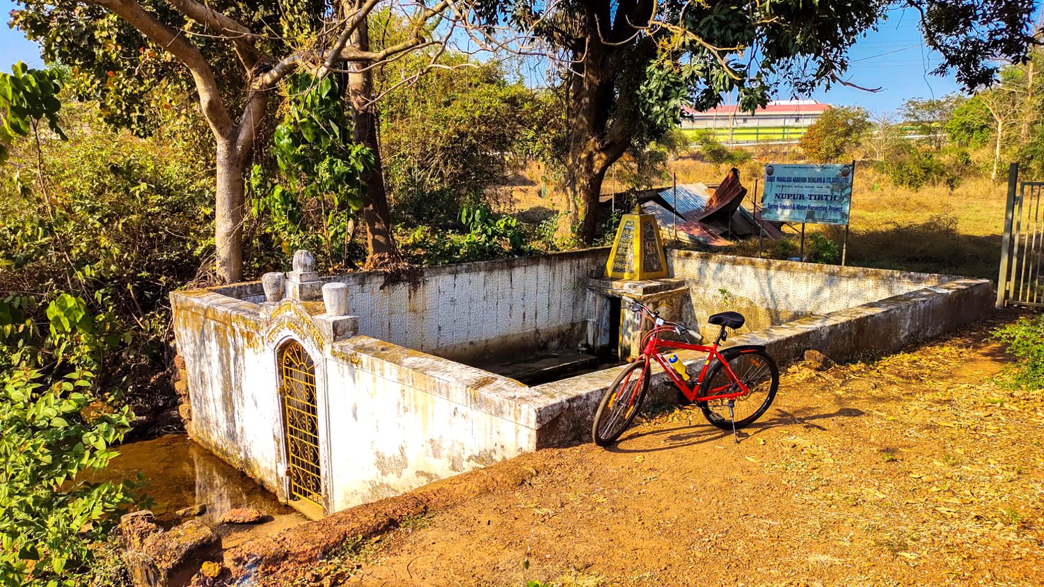
The source of the River Sal is this little spring near the Shree Hanuman temple, atop the Verna plateau in the Industrial Estate.
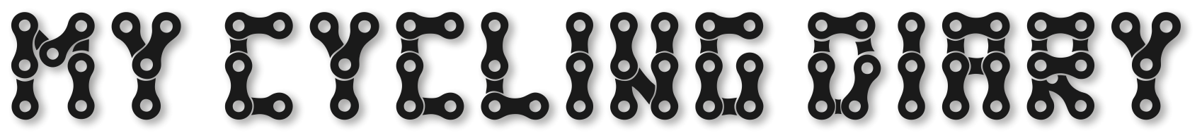
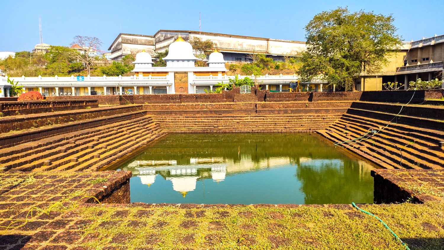
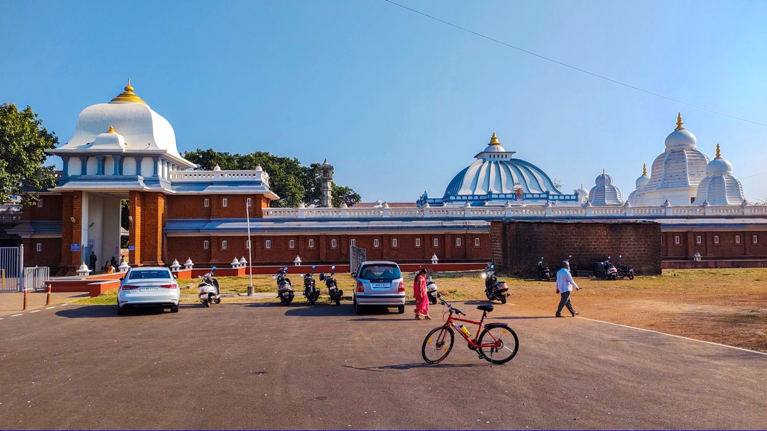
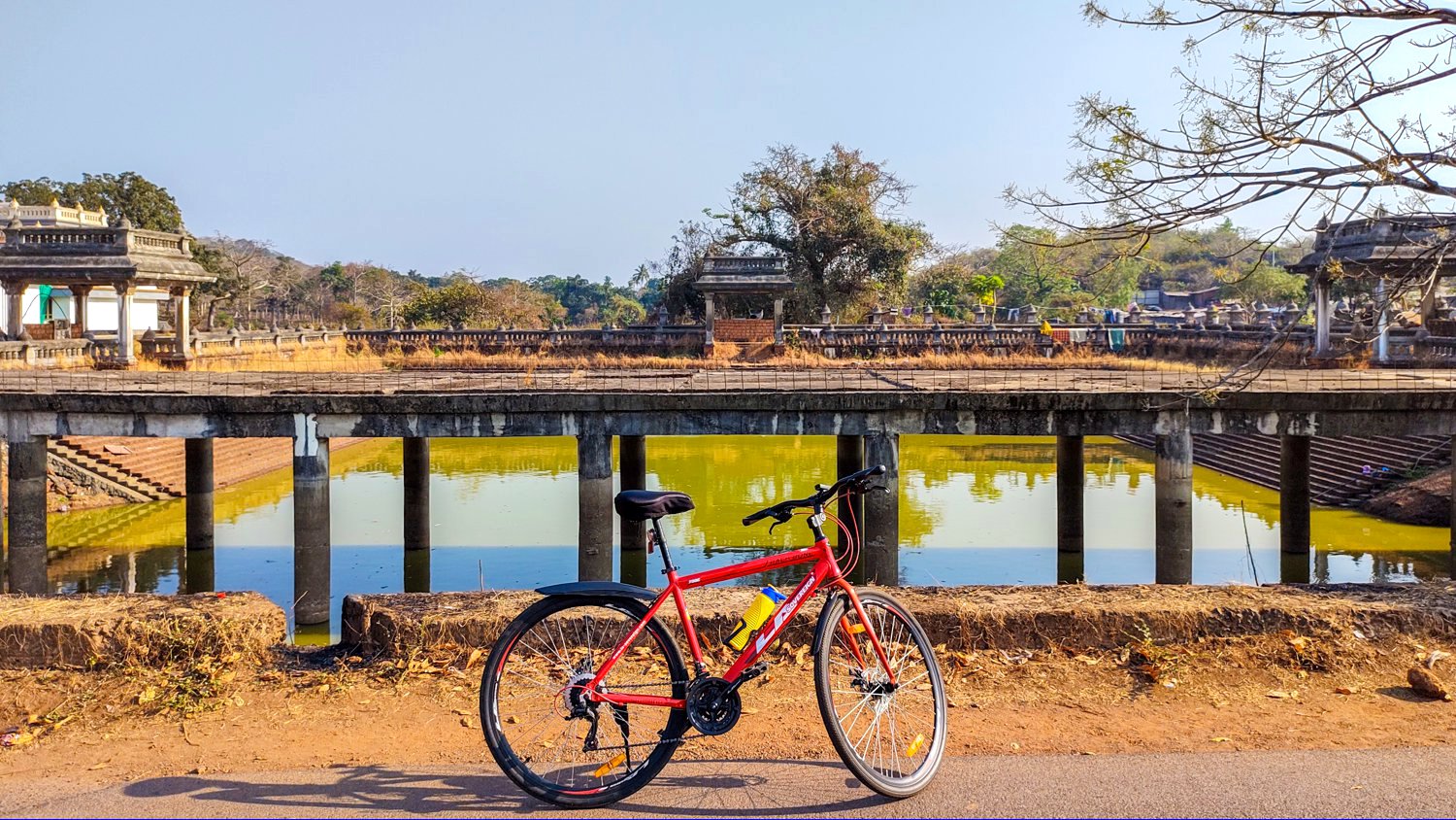
The other source is the temple lake of the Shree Mahalsa Narayani Temple a kilometer away.
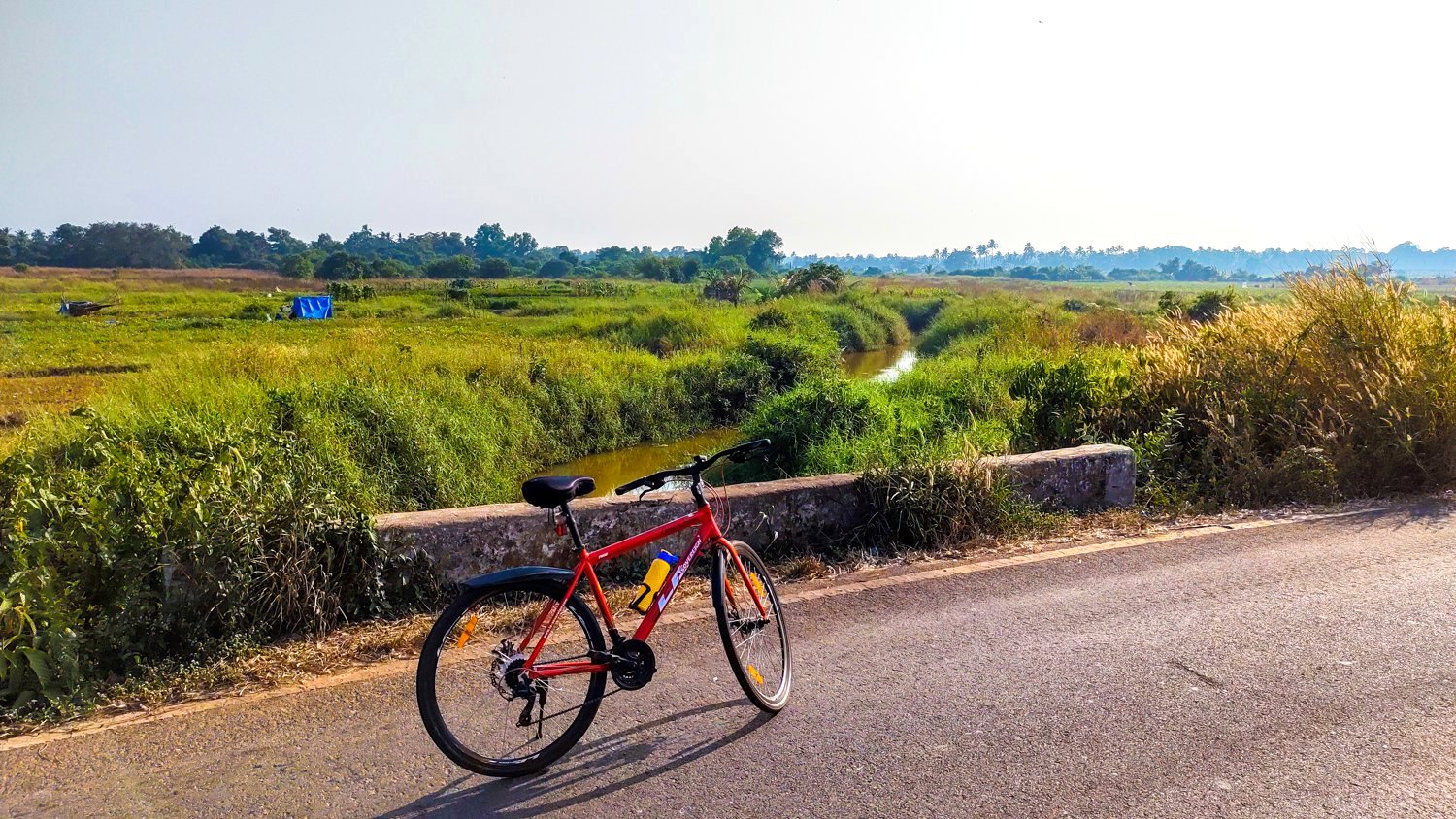
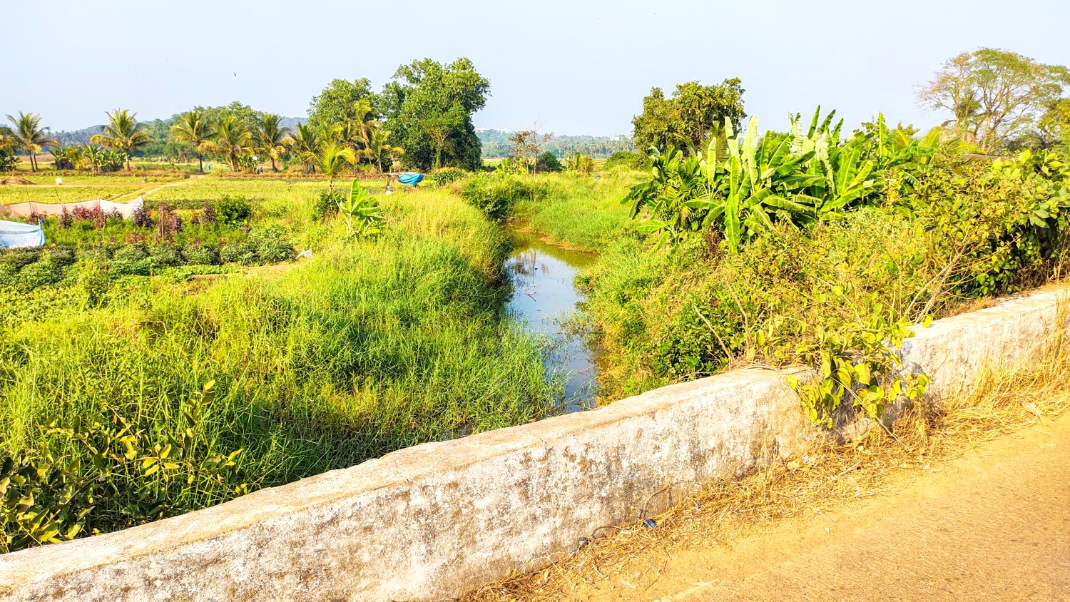
The water from these two sources sinks underground only to resurfaces 4kms away near Malibu / Gawins restaurant, flowing as a small rivulet southwards. The first bridge over the river is crossed on the Verna Cansaulim road, just before the Konkan railway bridge.
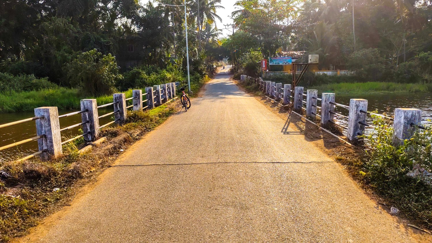
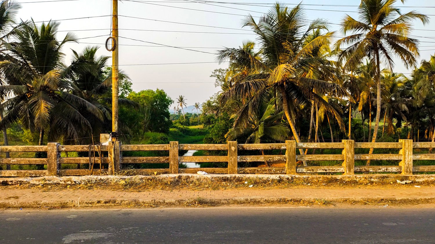
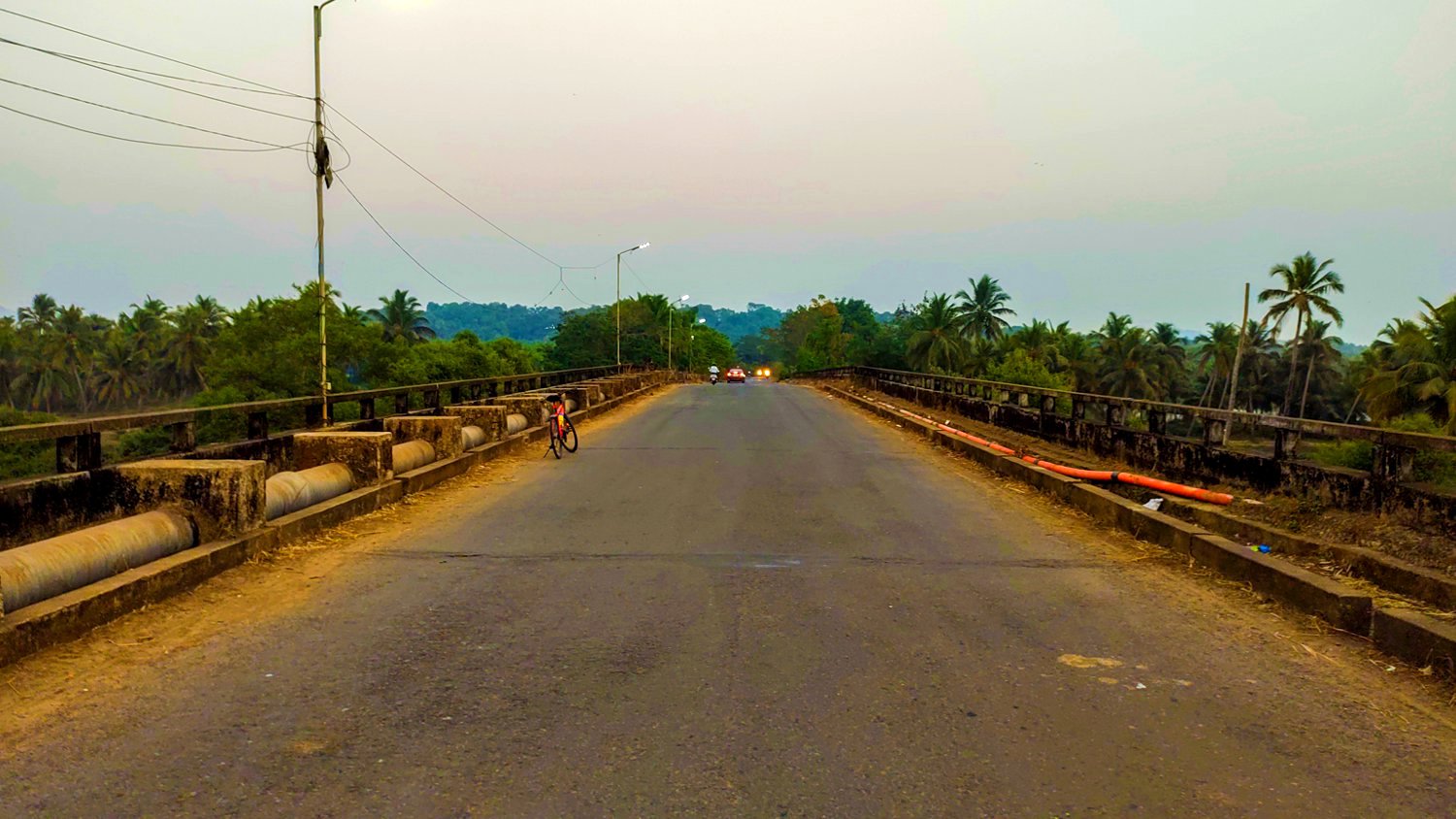
The second is the Utorda to Verna bridge. A new larger two lane bridge was built a few years back, the old stone arch bridge is still used.
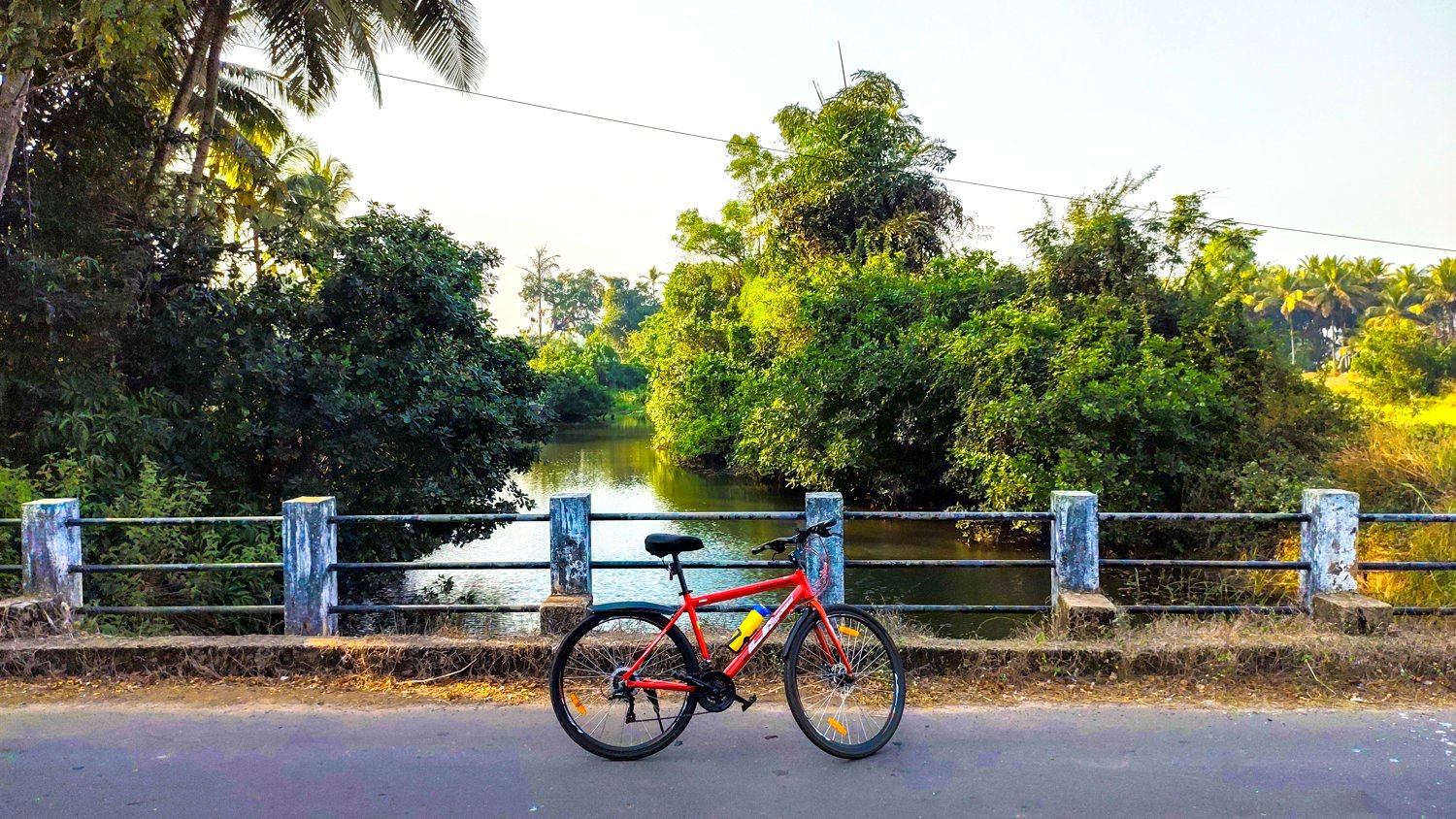
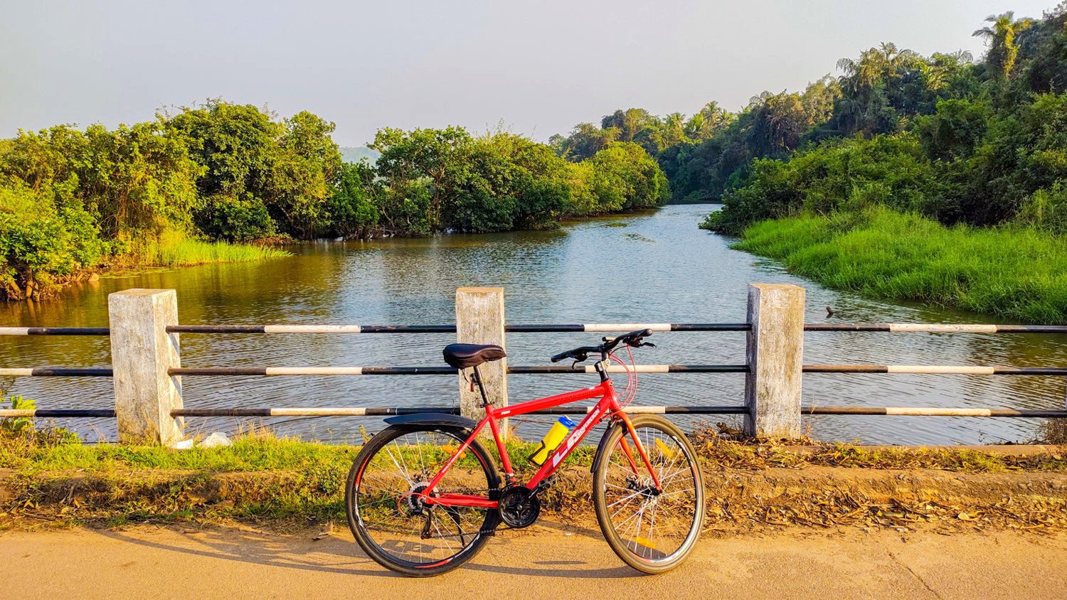
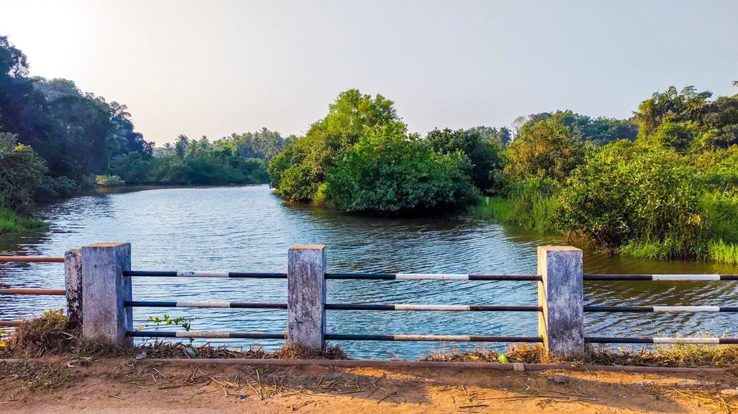
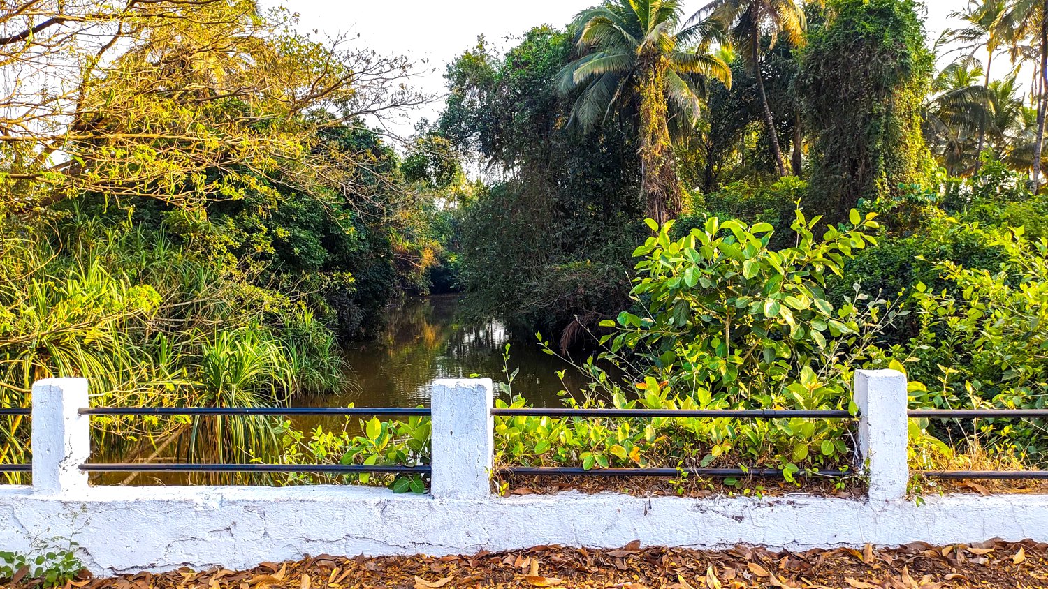
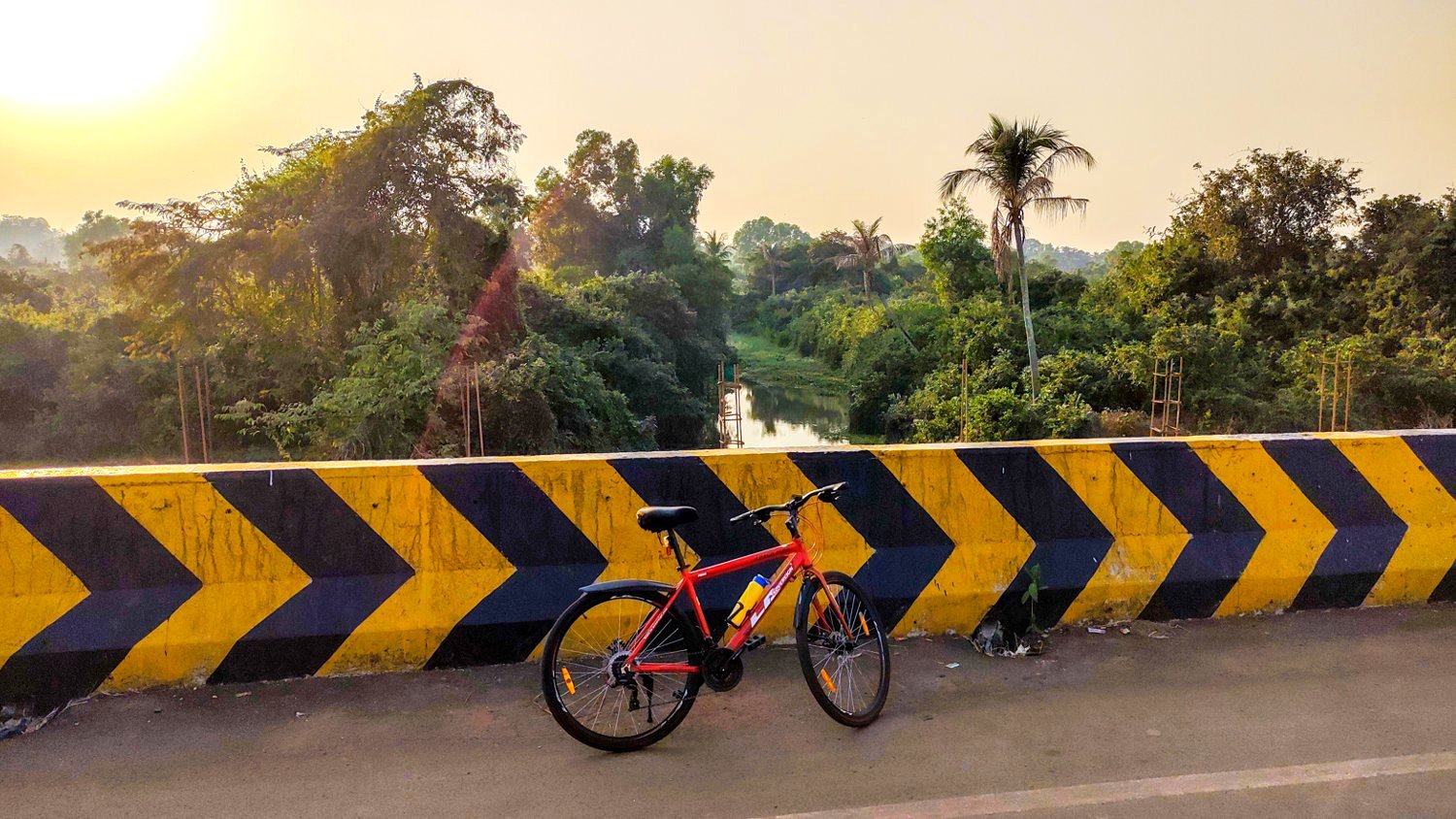
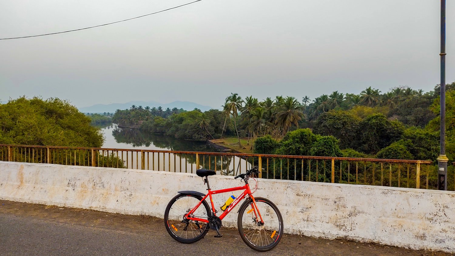
13.4kms away is the third bridge that leads to Majorda from the new NH66. Here the river is the cleanest.
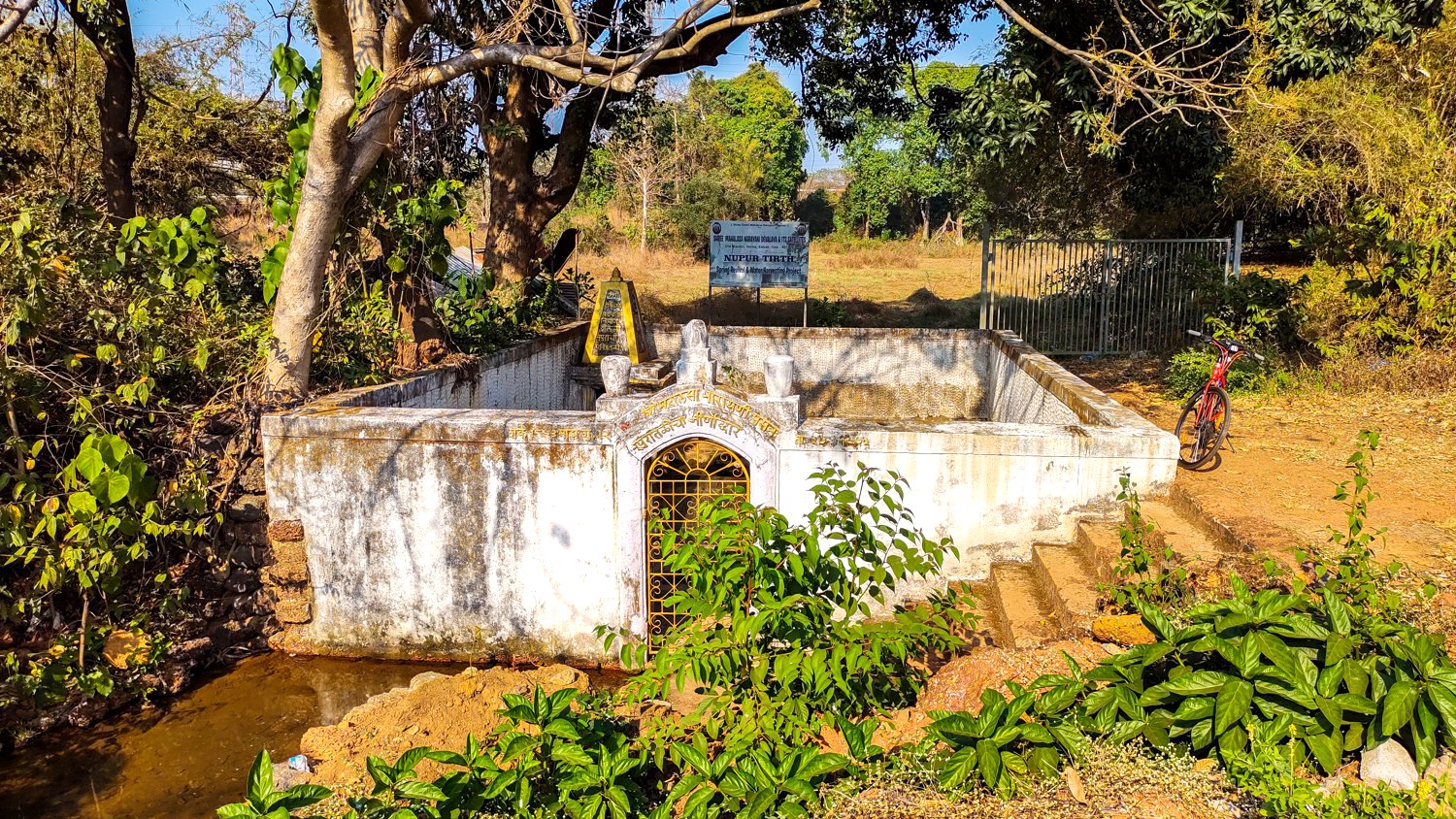
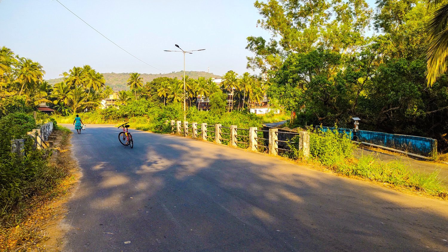
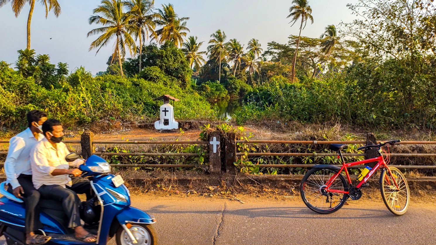
Near the quaint cross (15.8 kms) crossing the bridge gets you onto the NH66 bypass road.
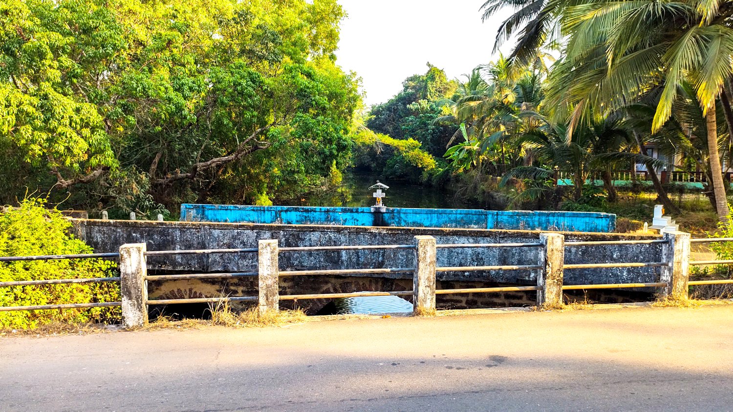
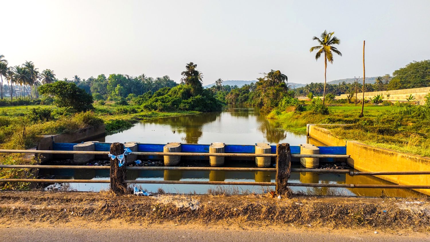
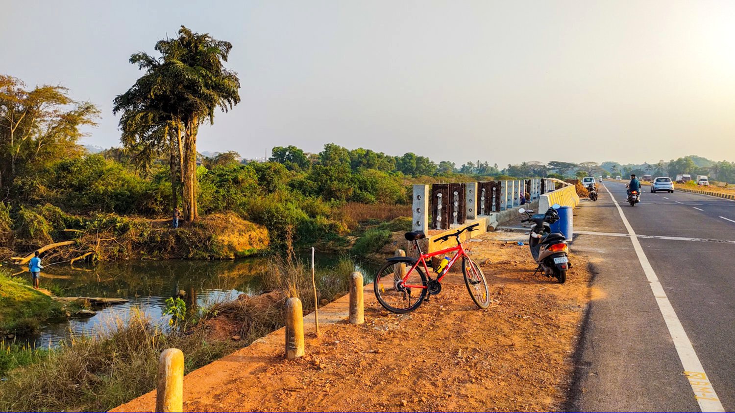
The fourth bridge is on the Nuvem – Majorda road were sluice gates are built to block the water flow in order to irrigate the fields
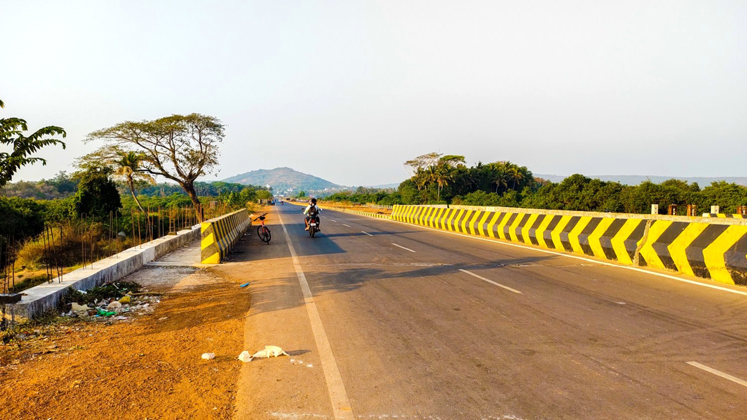
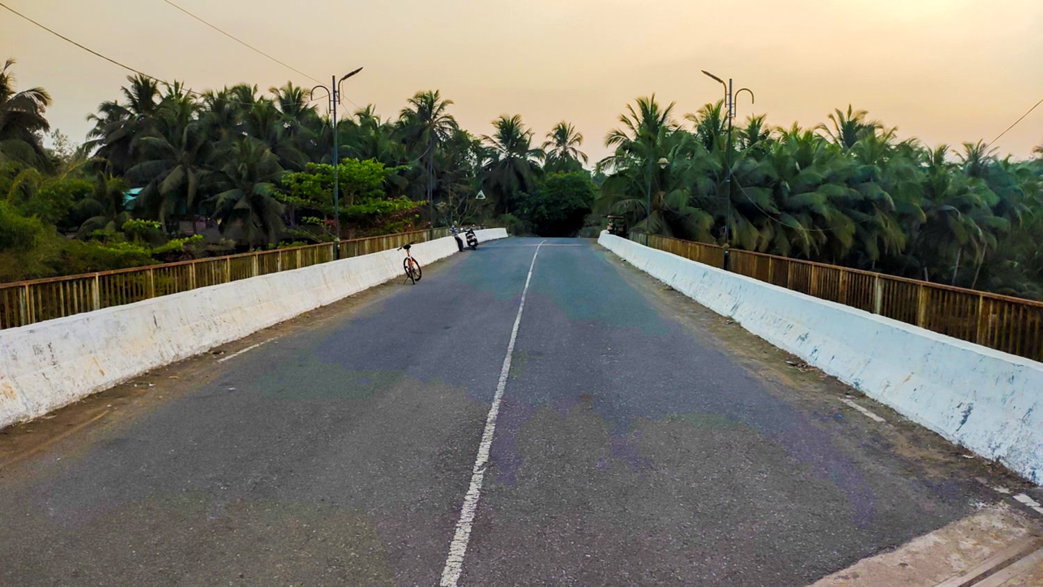
Cycling a distance of 4kms via Seraulim brought me to the new NH66 bridge, the only route where I had to take a U-turn and cross the bridge twice.
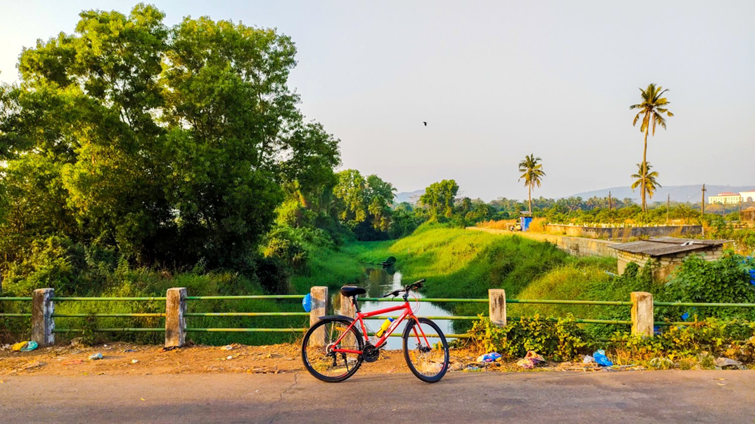
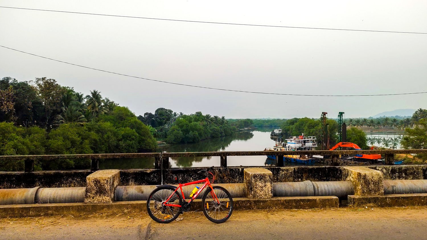
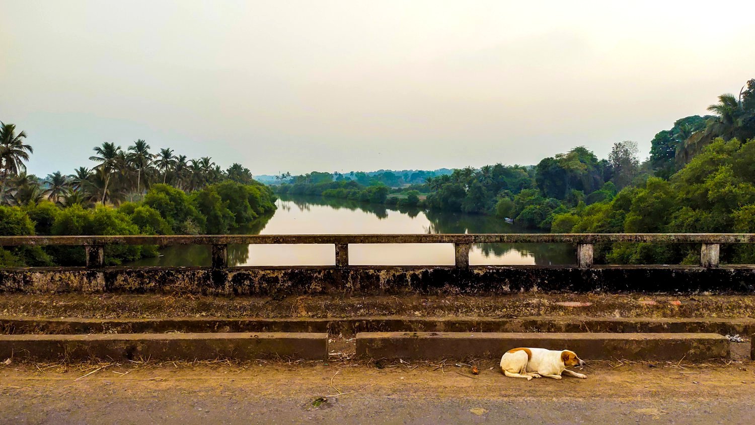
300 mts away is the bridge leading to the Margao Wholesale Fish Market where the river is polluted and filled with weeds, plastic bags and waste.
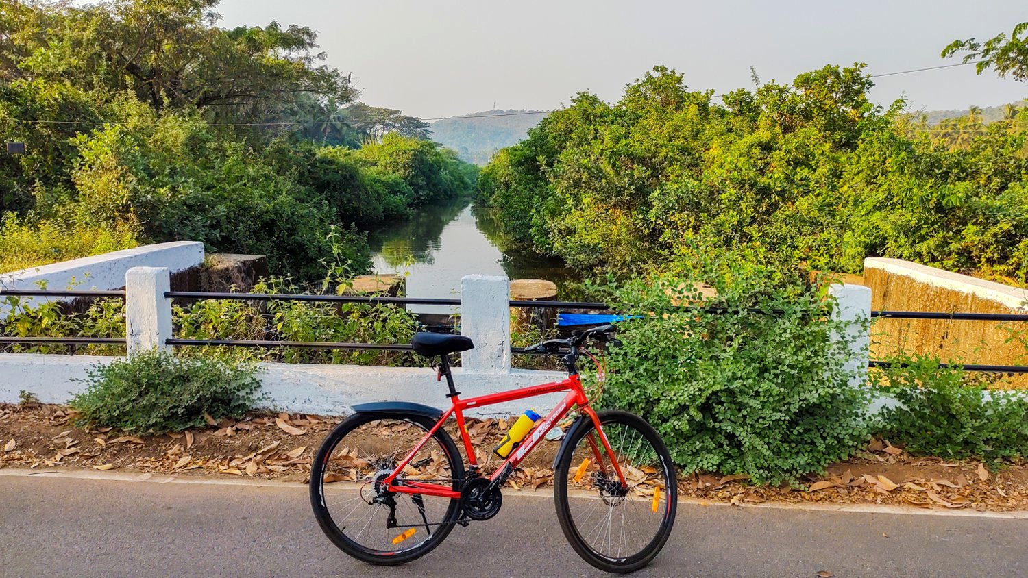
Pedalling through Madel leads to the bridge named after Erasmo Carvalho. This 52m long bridge was completed in 2005 after demolishing the old Portuguese era stone arch bridge. Unfortunately this part of the river is filled with weeds too.
3 kms away via Mungul, Pedda leads to the Kharband bridge. The two lane bridge is 42 m in length with a total width of 12 m. The old stone arch bridge was demolished a decade ago, while the Bailey bridge exists next to the new one. This is the most polluted and stinking part of the river. During Portuguese era, traders with dhows and boats used to come right upto the bridge with their goods.
32.1 kms away is the 74m long Telaulim bridge, that is estimated to have cost over 11 cr. It was one among the three bridges considered to be the pet projects of then PWD minister Churchill Alemao. It was inaugurated on 25th February 2011.
The Orlim bridge that was built over 25 years back connects Chinchinim and is located soon after crossing the St. Michael Church, 3.3 kms from the Telaulim bridge.
The Assolna bridge is over a tributary of River Sal that originates in Cuncolim. It was designed and constructed just around Goa’s liberation in 1961, by Engg. Eleuterio Barreto who was then the Chief Engineer of the Salcete Municipality. He designed and was said to have to have personally supervised the crucial stages of its construction.
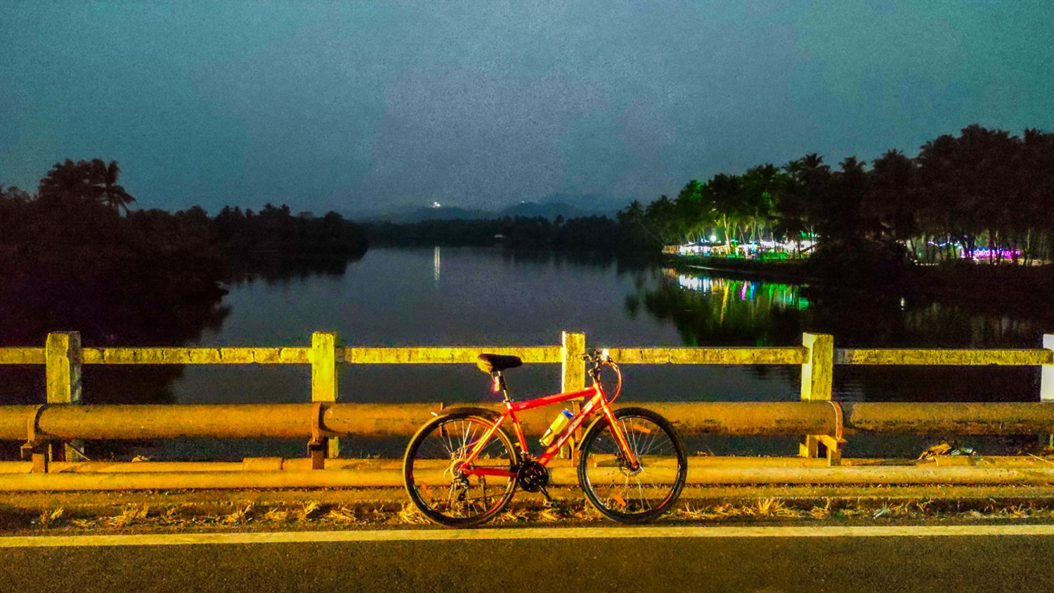
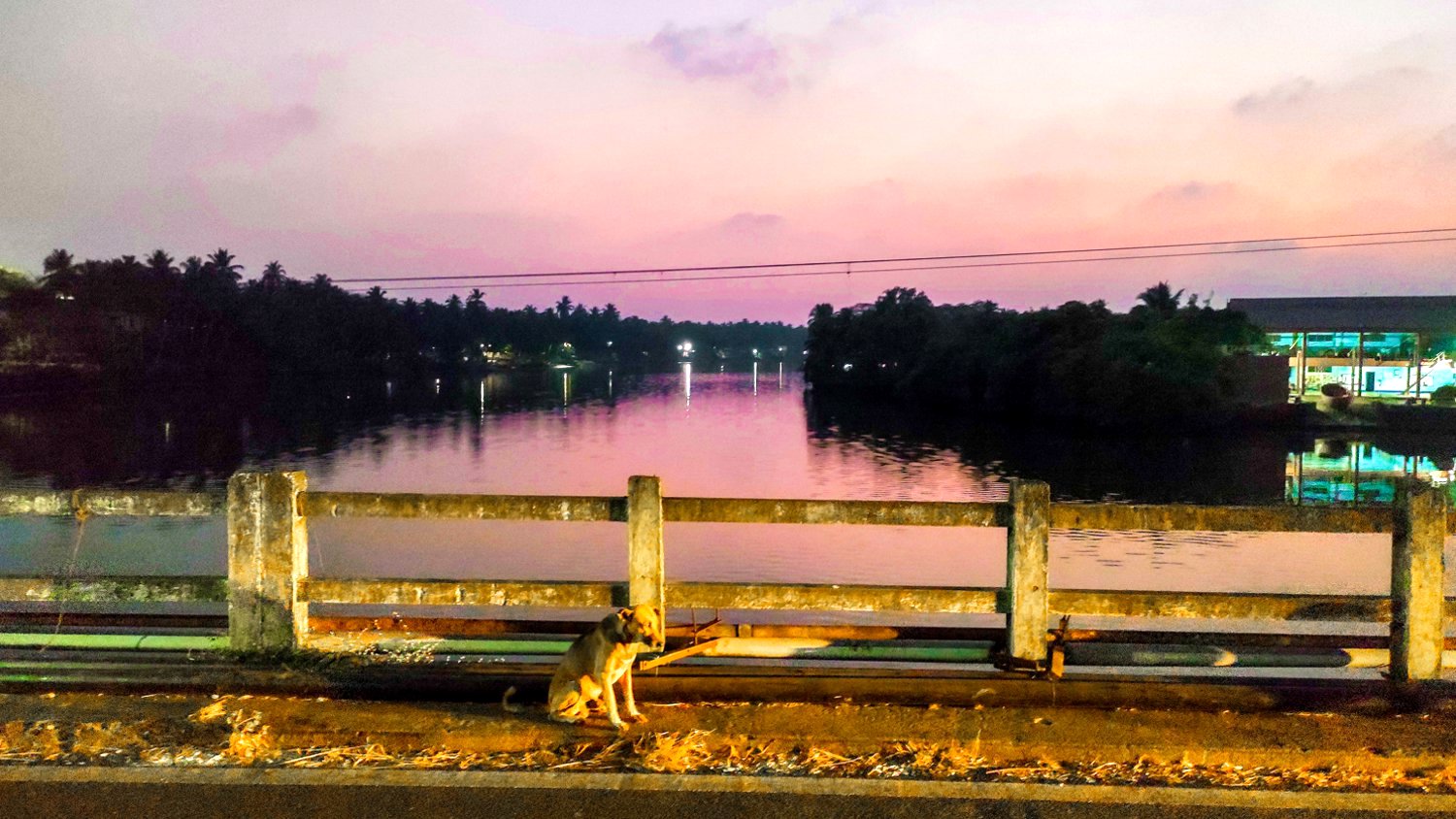
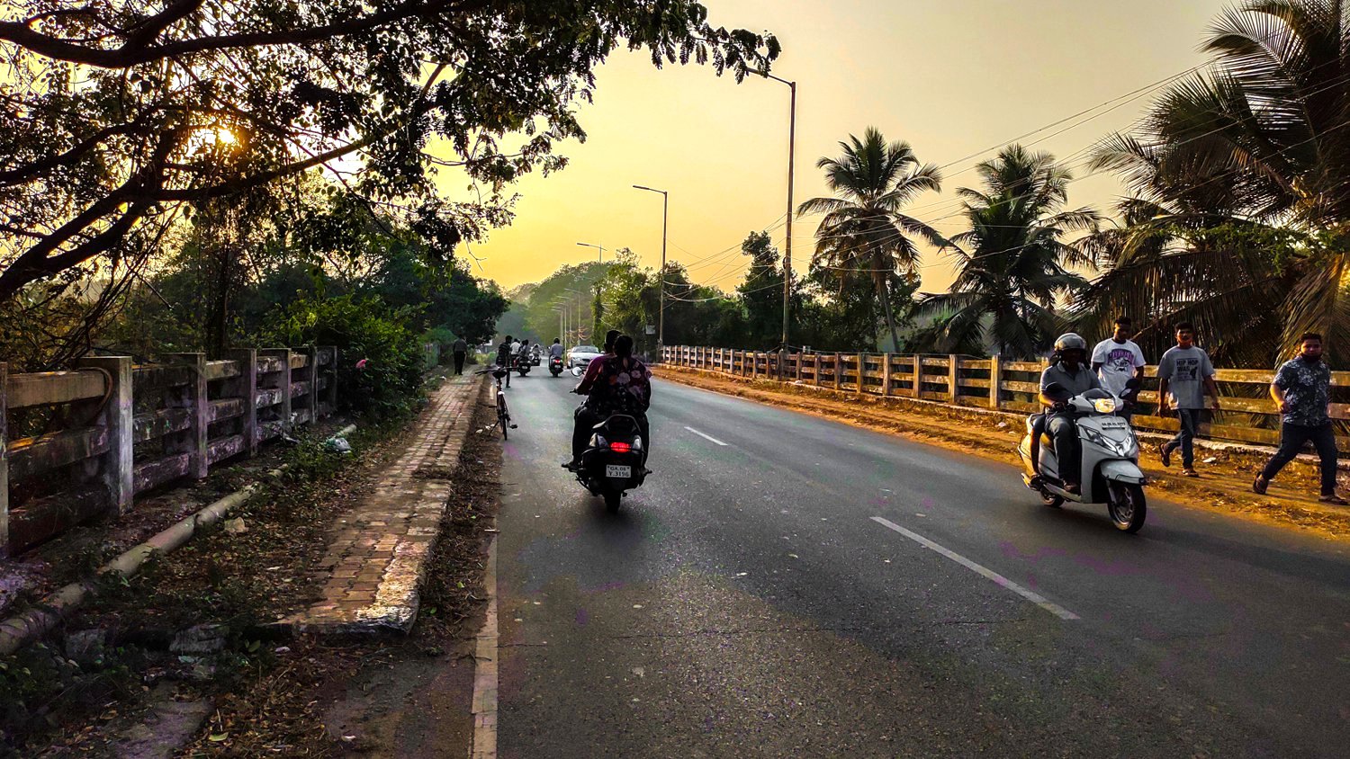
The last bridge over River Sal is the 20-span 620-meter long Assolna – Cavelossim bridge. The foundation stone was laid in August 2009 and the bridge was completed in 2013. The bridge with wide side-walks has become an ideal evening get-away for the locals.
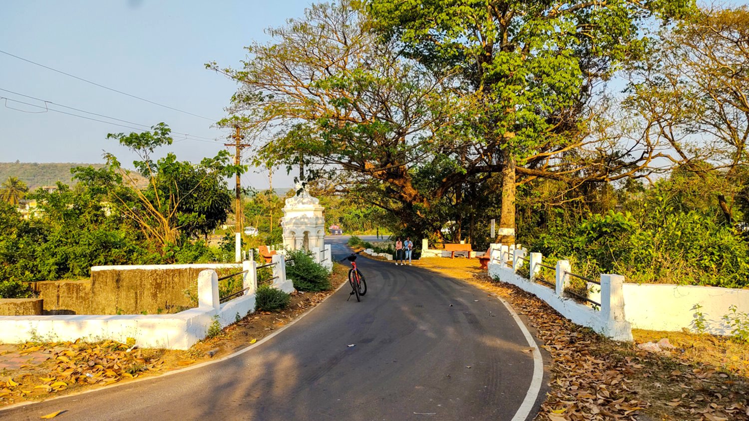
I ended the ride at the last point where the tarmac road ended with a view of the River Sal flowing into the Arabian sea, 49.2 km from the Verna plateau, the source where it originates. The end of the road is 700mts from Leela Resort from where the rotating light of the Betul Light House could be seen opposite the river bank.
Mission accomplished!
Now the 19kms return journey back home.
You can view the route on Relive : https://www.relive.cc/view/vZqNnnV9KGq
or follow my route on Strava : https://www.strava.com/activities/4788026850